Place Names / Local History · Gothic
Ortsgeschichte Rohlinger Hof


© GeoBasis-DE / LVermGeoRP, dl-de/by-2-0
There is no picture of this object yet. Do you have a photo that you would like to make available to the Kulturdatenbank? Submit a picture
Description
This description is only available in German.
Translate with Google opens this page in Google Translate (external service)
Rohlinger Hof, der als Ruolvenge mit sechs Hufen Land im Urbar des Sankt Simeonstiftes um 1200 erscheint. Der Bannbezirk ging in die luxemburgische Herrschaft Wincheringen und in den Besitz der Herren von Warsbera über. Im nach 1945 umgebauten und im Altbestand umgenutzten Hof weisen Datierungen auf das höhere Baualter und eine Teilung von 1830 hin (1832 datiertes ehem. Quereinhaus, 1783 datiertes Kellerportal).
Classification
- Subject area
- History
- Category
- Place Names / Local History
- Date
- Um 1200
- Period
- Gothic
Location
- District
- Trier-Saarburg
- Collective municipality
- Saarburg-Kell
- Municipality
- Palzem
- Locality / location
- Rohlinger Hof
- Field name
- Ortslage
- Coordinates
- WGS 84: 49.567692, 6.393862 (Position: exact) WGS 84: 49° 34′ 03.7″ N, 6° 23′ 37.9″ E UTM 32 (ETRS89): E 311567 · N 5493830
Sources
Data sources
On the internet
Last edited: 16 Oct 2009 Object ID: 17582
https://kulturdb.de/en/objekt/17582-palzem-ortsgeschichte-rohlinger-hof
Nearby
The nearest objects
Wayside Shrines and Stations of the Cross
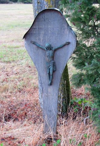
Kreuzigungsbild am Rohlinger Hof
 50 m
Works of Art
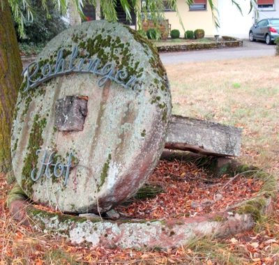
Mühlstein
Field Names
Ober Wingenborn
Field Names
Oberster Grund
 360 m
Wayside Shrines and Stations of the Cross
Wegekreuz am Rohlinger Hof
Field Names
Breitentriesch
Field Names
Unterster Grund
Forest Names