Place Names / Local History · Celtic / Roman Period
Ortsgeschichte Irsch

Description
This description is only available in German.
Translate with Google opens this page in Google Translate (external service)
Schon aus der Zeit des 2. bis 4. Jahrhunderts ist eine Besiedlung des Ortes bekannt. Im 10. Jahrhundert besaß hier Erzbischof Heinrich mehrere Besitzungen und baute die Weinrebe an. Bereits ab 1897 wurde die erste Winzergenossenschaft an der Saar gegründet. [1]
Classification
- Subject area
- History
- Category
- Place Names / Local History
- Date
- 2. Jahrhundert
- Period
- Celtic / Roman Period
Location
- District
- Trier-Saarburg
- Collective municipality
- Saarburg-Kell
- Municipality
- Irsch
- Field name
- Ortslage
- Coordinates
- WGS 84: 49.603534, 6.593090 (Position: within the village) WGS 84: 49° 36′ 12.7″ N, 6° 35′ 35.1″ E UTM 32 (ETRS89): E 326098 · N 5497334
Sources
Data sources
- [1] Copyright by CCS Trier - Luxembourg GmbH Autor: Thomas Schloesser
On the internet
Picture credits
- Picture 1: Internet
Last edited: 13 Feb 2003 Object ID: 1811
https://kulturdb.de/en/objekt/1811-irsch-ortsgeschichte-irsch
Nearby
The nearest objects
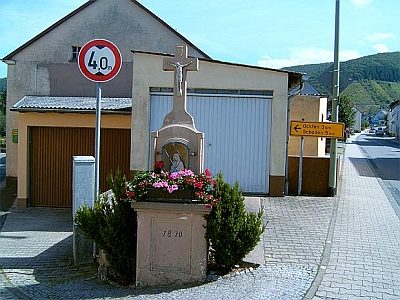 60 m
Wayside Shrines and Stations of the Cross
Kreuz auf der Kees
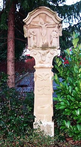 110 m
Wayside Shrines and Stations of the Cross
Bildstock
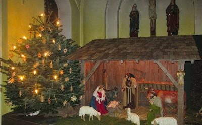 110 m
Nativity Scenes
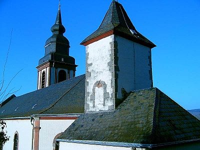
Sankt Gervasius und Sankt Protasius
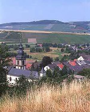 110 m
Catholic Churches
Sankt Gervasius und Sankt Protasius
Catholic Churches
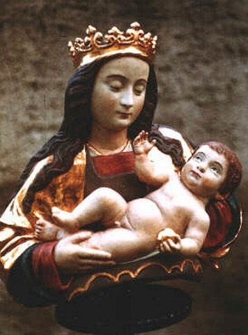
Marienbild in der Pfarrkirche
 110 m
Works of Art
Dräwer Madonna in der Pfarrkirche
 120 m
Chapels
Turmkapelle
 120 m
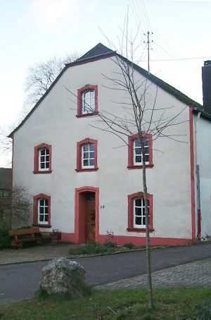
Rectories