Settlements · Celtic / Roman Period
Standort einer römischen Villa
- Listed monument


© GeoBasis-DE / LVermGeoRP, dl-de/by-2-0
There is no picture of this object yet. Do you have a photo that you would like to make available to the Kulturdatenbank? Submit a picture
Description
This description is only available in German.
Translate with Google opens this page in Google Translate (external service)
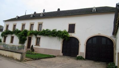
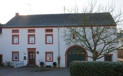
Kennzeichnendes, dörfliches Straßenbild aus großen bäuerlichen Anwesen mit straßenparallelen Quereinhäusern, 18. und 19. Jahrhundert, einer der dörflichen Siedlungskerne, an der Stelle der römischen Villa. [1]
Classification
- Subject area
- Archaeological Monuments
- Category
- Settlements
- Object type
- Settlements
- Date
- Circa 500 vor Chr. bis circa 500 nach Chr.
- Period
- Celtic / Roman Period
Location
- District
- Trier-Saarburg
- Collective municipality
- Konz
- Municipality
- Temmels
- Street
- Bahnhofstraße 19, 20, 21, 22
- Field name
- Ortslage
- Coordinates
- WGS 84: 49.688311, 6.463256 (Position: exact) WGS 84: 49° 41′ 17.9″ N, 6° 27′ 47.7″ E UTM 32 (ETRS89): E 317036 · N 5507066
Sources
Data sources
- [1] Denkmalliste der Generaldirektion Kulturelles Erbe, Rheinland-Pfalz; 2009.
On the internet
Last edited: 24 Mar 2010 Object ID: 18292
https://kulturdb.de/en/objekt/18292-temmels-standort-einer-roemischen-villa
Nearby
The nearest objects
 20 m
Historic Townscapes
Quereinhaus
 30 m
Historic Townscapes
Denkmalzone Bahnhofstraße 19, 20, 21, 22
Historic Townscapes
Quereinhaus
 60 m
Chapels
Kapelle
Railways
Haltepunkt Temmels
 110 m
Historic Townscapes
Ehemaliger Sportplatz Temmels
 120 m
Place Names / Local History
Ortsname
 160 m
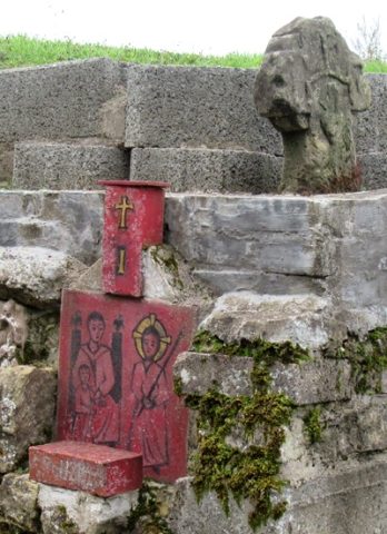
Wayside Shrines and Stations of the Cross