Place Names / Local History · Undated
Ortsgeschichte Morscheid


Description
This description is only available in German.
Translate with Google opens this page in Google Translate (external service)
Auf der Sohle eines eiszeitlichen Urstromtales steht heute Morscheid, auf einem Plateau, das steil abfällt, westlich ins Ruwertal und östlich ins Riveristal. Römische Funde südwestlich von Morscheid deuten auf eine frühe Besiedlung mit Einzelhöfen hin (Villa rusticas).
Gut Murcit wird erstmals in einer Urkunde des Trierer Erzbischofs Poppo (1016-1047) erwähnt.
Classification
- Subject area
- History
- Category
- Place Names / Local History
- Date
- Undatiert
- Period
- Undated
Location
- District
- Trier-Saarburg
- Collective municipality
- Ruwer
- Municipality
- Morscheid
- Field name
- Ortslage
- Coordinates
- WGS 84: 49.732173, 6.750375 (Position: within the village) WGS 84: 49° 43′ 55.8″ N, 6° 45′ 01.4″ E UTM 32 (ETRS89): E 337889 · N 5511282
Sources
Data sources
- Homepage der Verbandsgemeinde Ruwer
On the internet
Picture credits
Last edited: 12 Aug 2004 Object ID: 1831
https://kulturdb.de/en/objekt/1831-morscheid-ortsgeschichte-morscheid
Nearby
The nearest objects
 less than 10 m
Settlements
Römische Siedlung
 less than 10 m
Wayside Shrines and Stations of the Cross
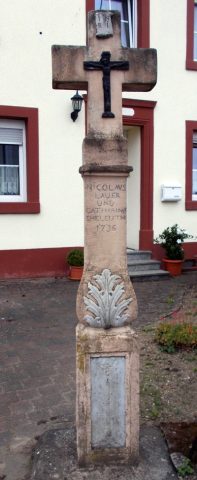
Wegekreuz
 100 m
Catholic Churches
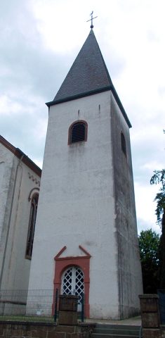
Sankt Martin - Turm
 110 m
Catholic Churches
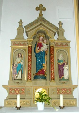
Sankt Martin - Innenausstattung
 110 m
Catholic Churches
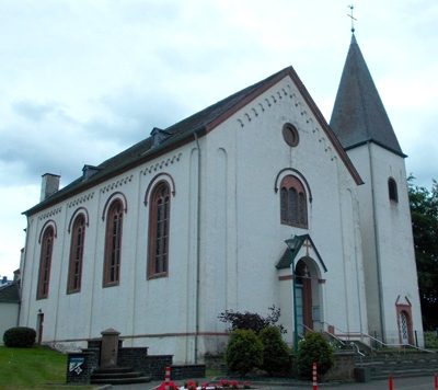
Sankt Martin
 120 m
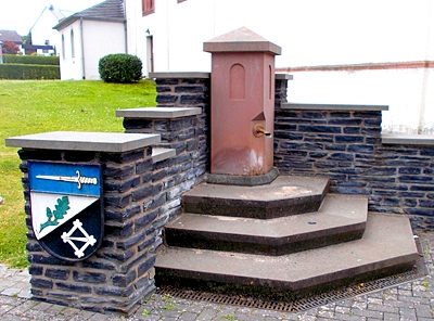
Fountains and Wells
Dorfbrunnen vor Kirche
 150 m
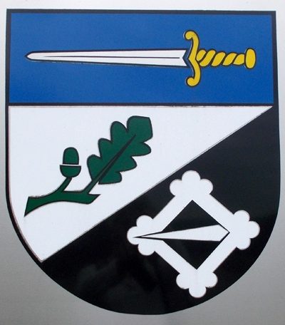
Coats of Arms
Wappen der Gemeinde Morscheid
Street Names