Field Names · Undated
Aufm Kuhlager


Description
This description is only available in German.
Translate with Google opens this page in Google Translate (external service)
Die Flur wurde wohl als Kuhweide genutzt. [1]
Classification
- Subject area
- History
- Category
- Field Names
- Date
- Undatiert
- Period
- Undated
Location
- District
- Trier-Saarburg
- Collective municipality
- Trier-Land
- Municipality
- Kordel
- Locality / location
- Hochmark
- Field name
- Aufm Kuhlager
- Coordinates
- WGS 84: 49.846632, 6.657962 (Position: exact) WGS 84: 49° 50′ 47.9″ N, 6° 39′ 28.7″ E UTM 32 (ETRS89): E 331627 · N 5524210
Sources
Data sources
- [1] Peter Valerius, Kordel, 2020.
On the internet
Picture credits
Last edited: 29 Dec 2015 Object ID: 18328
https://kulturdb.de/en/objekt/18328-kordel-aufm-kuhlager
Nearby
The nearest objects
No picture
150 m
Extraction and Processing of Raw Materials
Ehemaliger Steinbruch
No picture
180 m
Field Names
Im Tauerkopf
 200 m
Charcoal Kilns
Ehemaliger Meilerplatz
220 m
Charcoal Kilns
Ehemaliger Meilerplatz
 240 m
Field Names
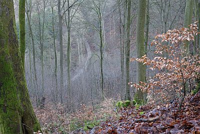
In Kellersloch oder Kernich-Loch
 240 m
Water Supply
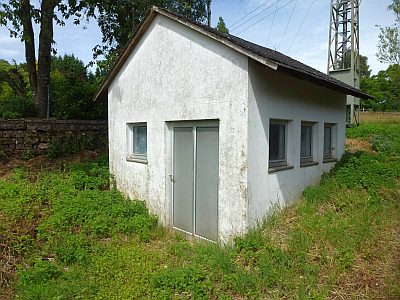
Wasserhochbehälter
 240 m
Rocks
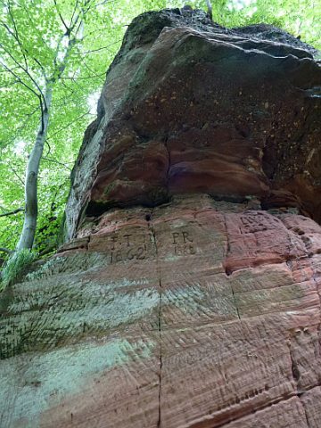
Felsen am Tauerkopf
 260 m
Field Names