Field Names · Undated
Hochmark


© GeoBasis-DE / LVermGeoRP, dl-de/by-2-0
There is no picture of this object yet. Do you have a photo that you would like to make available to the Kulturdatenbank? Submit a picture
Description
This description is only available in German.
Translate with Google opens this page in Google Translate (external service)
Flur 10 - Sie greift über den nördlichen Hochmarksrand in den Sammerberghang hinab mit der Bezeichnung "Im obersten Sammerberg". Vor der Lohhecke liegt nördlich des Höhenweges der Flurteil "Bei der hohen Mark", südlich des Weges "Hochmark". Dann folgt weiter nach Westen "Aufm Büsch" und "Aufm Sammerberg" sowie "Aufm Kuhlager". [1]
Classification
- Subject area
- History
- Category
- Field Names
- Date
- Undatiert
- Period
- Undated
Location
- District
- Trier-Saarburg
- Collective municipality
- Trier-Land
- Municipality
- Kordel
- Locality / location
- Hochmark
- Field name
- Hochmark
- Coordinates
- WGS 84: 49.852488, 6.671488 (Position: exact) WGS 84: 49° 51′ 09.0″ N, 6° 40′ 17.4″ E UTM 32 (ETRS89): E 332620 · N 5524830
Sources
Data sources
- [1] Anton Obser: Kordel. Geschichte der Kylltalgemeinde. Hrsg. Ortsgemeinde Kordel, 1982.
On the internet
Last edited: 2 Apr 2010 Object ID: 18330
https://kulturdb.de/en/objekt/18330-kordel-hochmark
Nearby
The nearest objects
 110 m
Settlements
Römische Siedlungsstelle Hochmark
Cremation Graves
Römisches Brandgräberfeld Hochmark
 140 m
Extraction and Processing of Raw Materials
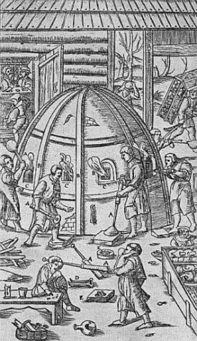
Glashütte auf der Hochmark
 140 m
Charcoal Kilns
Ehemaliger Meilerplatz
200 m
Charcoal Kilns
Ehemaliger Meilerplatz
Field Names
Erbeskopf oder Eresrodt
Springs
Quelle im Waldhang östlich Hochmark
220 m
Charcoal Kilns