Field Names · Undated
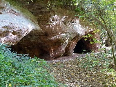
Bei der Hexley

Description
This description is only available in German.
Translate with Google opens this page in Google Translate (external service)
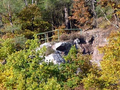
Wohl benannt nach den dräuend darüberstehenden mittleren Kauleyfelsen. [1]
Classification
- Subject area
- History
- Category
- Field Names
- Date
- Undatiert
- Period
- Undated
Location
- District
- Trier-Saarburg
- Collective municipality
- Trier-Land
- Municipality
- Kordel
- Street
- Welschbilliger Straße
- Field name
- Bei der Hexley
- Coordinates
- WGS 84: 49.841901, 6.627563 (Position: exact) WGS 84: 49° 50′ 30.8″ N, 6° 37′ 39.2″ E UTM 32 (ETRS89): E 329426 · N 5523752
Sources
Data sources
- [1] Anton Obser: Kordel. Geschichte der Kylltalgemeinde. Hrsg. Ortsgemeinde Kordel, 1982.
On the internet
Picture credits
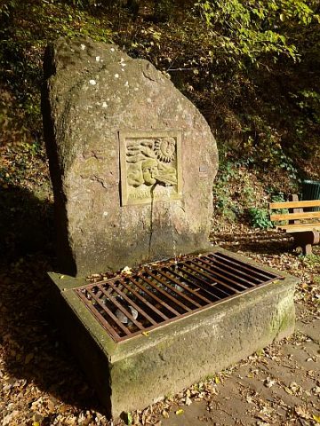
- Picture 1: © Peter Valerius, Kordel, 2014.
Last edited: 15 Jul 2020 Object ID: 18416
https://kulturdb.de/en/objekt/18416-kordel-bei-der-hexley
Nearby
The nearest objects