Field Names · Undated
Im Ramsteinerberg


Description
This description is only available in German.
Translate with Google opens this page in Google Translate (external service)
Damit ist der Waldhang vom Butzerbachtal bis hinauf zur Butzweiler Straße gemeint. [1]
Classification
- Subject area
- History
- Category
- Field Names
- Date
- Undatiert
- Period
- Undated
Location
- District
- Trier-Saarburg
- Collective municipality
- Trier-Land
- Municipality
- Kordel
- Locality / location
- Burg Ramstein
- Field name
- Im Ramsteinerberg
- Coordinates
- WGS 84: 49.825376, 6.643776 (Position: exact) WGS 84: 49° 49′ 31.4″ N, 6° 38′ 37.6″ E UTM 32 (ETRS89): E 330533 · N 5521879
Sources
Data sources
- [1] Peter Valerius, Kordel, 2020.
On the internet
Picture credits
Last edited: 16 Jul 2020 Object ID: 18429
https://kulturdb.de/en/objekt/18429-kordel-im-ramsteinerberg
Nearby
The nearest objects
 80 m
Charcoal Kilns
Ehemaliger Meilerplatz
90 m
Charcoal Kilns
Ehemaliger Meilerplatz
90 m
Charcoal Kilns
Ehemaliger Meilerplatz
100 m
Charcoal Kilns
Ehemaliger Meilerplatz
100 m
Charcoal Kilns
Ehemaliger Meilerplatz
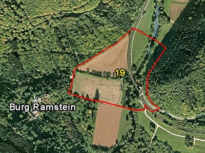 130 m
Field Names
In der Butzerbach
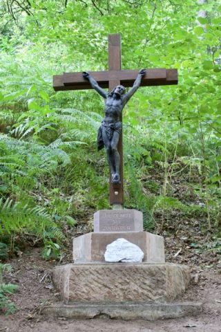 130 m
Wayside Shrines and Stations of the Cross
Wegekreuz im Butzerbachtal
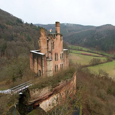 180 m
Castles