Place Names / Local History · Celtic / Roman Period
Ortsname


© GeoBasis-DE / LVermGeoRP, dl-de/by-2-0
There is no picture of this object yet. Do you have a photo that you would like to make available to the Kulturdatenbank? Submit a picture
Description
This description is only available in German.
Translate with Google opens this page in Google Translate (external service)
Frühe Zeugnisse der Besiedlung weisen uns in die Zeit der Römer, die auch über Mertesdorf eine Straße bauten. Der viel auf Römerstraßen gereiste Martin durfte dann in der fränkischen Siedlungszeit dem Dorf seinen Namen geben. [1]
Classification
- Subject area
- History
- Category
- Place Names / Local History
- Date
- Circa 500 vor Chr. bis circa 500 nach Chr.
- Period
- Celtic / Roman Period
Location
- District
- Trier-Saarburg
- Collective municipality
- Ruwer
- Municipality
- Mertesdorf
- Field name
- Ortslage
- Coordinates
- WGS 84: 49.771449, 6.733073 (Position: within the village) WGS 84: 49° 46′ 17.2″ N, 6° 43′ 59.1″ E UTM 32 (ETRS89): E 336774 · N 5515686
Sources
Data sources
- [1] Bistum Trier
On the internet
Last edited: 7 Oct 2003 Object ID: 1845
https://kulturdb.de/en/objekt/1845-mertesdorf-ortsname
Nearby
The nearest objects
 less than 10 m
Place Names / Local History
Ortsgeschichte Mertesdorf
 less than 10 m
Settlements
Römische Siedlung
 less than 10 m
Viewpoints
Aussichtspergola
 less than 10 m
Extraction and Processing of Raw Materials
Elektronischer Weinberg
Fortresses and Bunkers
Westwall - Bunker
 170 m
Catholic Churches
Alte katholische Pfarrkirche Sankt Martin
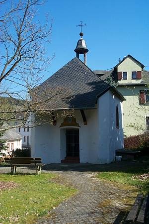 170 m
Chapels
Marienkapelle
Farmhouses and Farm Buildings