Field Names · Renaissance
Im hintersten Neuenberg

Description
This description is only available in German.
Translate with Google opens this page in Google Translate (external service)
Der Berg wurde einst gerodet und dann neu bepflanzt. [1]
Classification
- Subject area
- History
- Category
- Field Names
- Date
- 1575
- Period
- Renaissance
Location
- District
- Trier-Saarburg
- Collective municipality
- Trier-Land
- Municipality
- Kordel
- Field name
- Im hintersten Neuenberg
- Coordinates
- WGS 84: 49.852570, 6.638005 (Position: exact) WGS 84: 49° 51′ 09.3″ N, 6° 38′ 16.8″ E UTM 32 (ETRS89): E 330214 · N 5524915
Sources
Data sources
- [1] Anton Obser: Kordel. Geschichte der Kylltalgemeinde. Hrsg. Ortsgemeinde Kordel, 1982.
- [2] Weistumsbuch von 1575.
On the internet
Picture credits
- Picture 1: © Peter Valerius, Kordel, 2016.
Last edited: 6 Dec 2020 Object ID: 18458
https://kulturdb.de/en/objekt/18458-kordel-im-hintersten-neuenberg
Nearby
The nearest objects
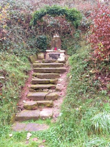 120 m
Wayside Shrines and Stations of the Cross
Sogenanntes Hunenkreuz
 220 m
Charcoal Kilns
Ehemaliger Meilerplatz
No picture
240 m
Charcoal Kilns
Ehemaliger Meilerplatz
260 m
Charcoal Kilns
Ehemaliger Meilerplatz
280 m
Charcoal Kilns
Ehemaliger Meilerplatz
320 m
Charcoal Kilns
Ehemaliger Meilerplatz
320 m
Charcoal Kilns
Ehemaliger Meilerplatz
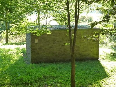 360 m
Field Names