Chapels · Undated
Wegekapelle in Flur Ober Otzental


Classification
- Subject area
- Architectural and Art Monuments
- Category
- Religious Buildings
- Object type
- Chapels
- Date
- Undatiert
- Period
- Undated
Location
- District
- Bernkastel-Wittlich
- Collective municipality
- Wittlich-Land
- Municipality
- Gipperath
- Field name
- Ober Otzental
- Coordinates
- WGS 84: 50.046867, 6.870080 (Position: exact) WGS 84: 50° 02′ 48.7″ N, 6° 52′ 12.3″ E UTM 32 (ETRS89): E 347509 · N 5546015
Sources
Data sources
- Sebastian Baasch, 54570 Wallenborn, 2010.
On the internet
de.wikipedia.org/wiki/Gipperath
Picture credits
Last edited: 11 May 2010 Object ID: 18516
https://kulturdb.de/en/objekt/18516-gipperath-wegekapelle-in-flur-ober-otzental
Nearby
The nearest objects
No picture
250 m
Extraction and Processing of Raw Materials
Ehemaliger Steinbruch
No picture
460 m
Field Names
Seitert
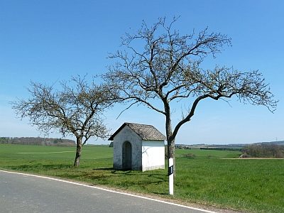 550 m
Chapels
Wegekapelle
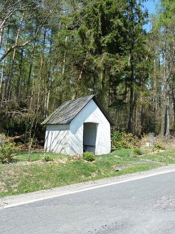 670 m
Chapels
Wegekapelle am Geisbüsch
No picture
700 m
Find Sites
Römische Oberflächenfunde
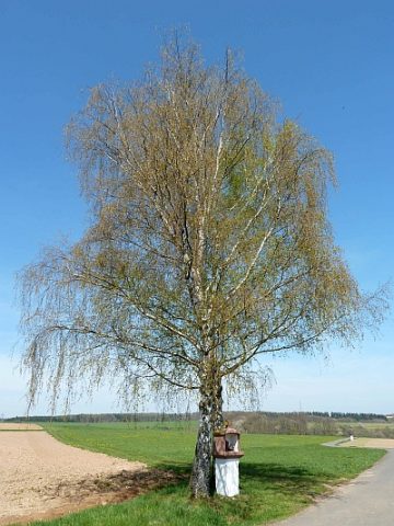 780 m
Wayside Shrine Houses
Heiligenhäuschen von 1761
No picture
810 m
Field Names
Oberster Ritzenpesch
No picture
880 m
Extraction and Processing of Raw Materials