Field Names · Undated
Auf dem Reidriesch


Description
This description is only available in German.
Translate with Google opens this page in Google Translate (external service)
Classification
- Subject area
- History
- Category
- Field Names
- Date
- Undatiert
- Period
- Undated
Location
- District
- Trier-Saarburg
- Collective municipality
- Trier-Land
- Municipality
- Kordel
- Locality / location
- Burg Ramstein
- Field name
- Auf dem Reidriesch
- Coordinates
- WGS 84: 49.816813, 6.639591 (Position: exact) WGS 84: 49° 49′ 00.5″ N, 6° 38′ 22.5″ E UTM 32 (ETRS89): E 330202 · N 5520936
Sources
Data sources
- [1] Anton Obser: Kordel. Geschichte der Kylltalgemeinde. Hrsg. Ortsgemeinde Kordel, 1982.
- [2] Seite "Driesche". In: Wikipedia, Die freie Enzyklopädie. Bearbeitungsstand: 4. April 2013, 01:11 UTC. URL: http://de.wikipedia.org/w/index.php?title=Driesche&oldid=116916753 (Abgerufen: 3. Juli 2013, 23:25 UTC)
On the internet
Picture credits
Last edited: 15 Jul 2020 Object ID: 18609
https://kulturdb.de/en/objekt/18609-kordel-auf-dem-reidriesch
Nearby
The nearest objects
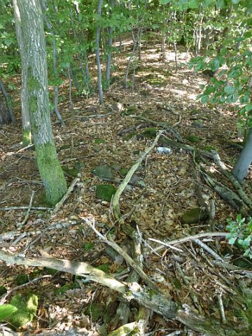 90 m
Roman Long Wall
Spätrömische Langmauertrasse am Ramsteiner Kopf
No picture
220 m
Rocks
Rotley - 1. Felsen
No picture
250 m
Rocks
Rotley - 2. Felsen
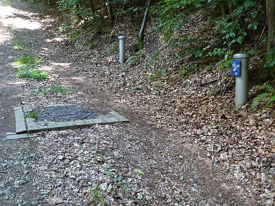 280 m
Fountains and Wells
Brunnen zur Trinkwasserversorgung
 310 m
Charcoal Kilns
Ehemaliger Meilerplatz
No picture
330 m
Field Names
Oben auf dem Reidriesch
350 m
Charcoal Kilns
Ehemaliger Meilerplatz
380 m
Charcoal Kilns