Field Names · Renaissance
Bähresley


© GeoBasis-DE / LVermGeoRP, dl-de/by-2-0
There is no picture of this object yet. Do you have a photo that you would like to make available to the Kulturdatenbank? Submit a picture
Description
This description is only available in German.
Translate with Google opens this page in Google Translate (external service)
Bähresley = Bärenfels. Die Bähresley ist ein ausgedehnter Steinbruch, der im Mittelalter hochwertiges Material für Kirchen- und Klosterbauten geliefert hat. Darüber hinaus wurde schon 1854 berichtet, dass sich hier noch typische Merkmale eines römerzeitlichen Abbaus zeigen. [1]
Classification
- Subject area
- History
- Category
- Field Names
- Date
- 1575
- Period
- Renaissance
Location
- District
- Trier-Saarburg
- Collective municipality
- Trier-Land
- Municipality
- Kordel
- Locality / location
- Burg Ramstein
- Field name
- Bähresley
- Coordinates
- WGS 84: 49.805415, 6.637551 (Position: exact) WGS 84: 49° 48′ 19.5″ N, 6° 38′ 15.2″ E UTM 32 (ETRS89): E 330016 · N 5519674
Sources
Data sources
- [1] Anton Obser: Kordel. Geschichte der Kylltalgemeinde. Hrsg. Ortsgemeinde Kordel, 1982.
- [2] Weistumsbuch von 1575.
On the internet
Last edited: 6 Dec 2020 Object ID: 18611
https://kulturdb.de/en/objekt/18611-kordel-baehresley
Nearby
The nearest objects
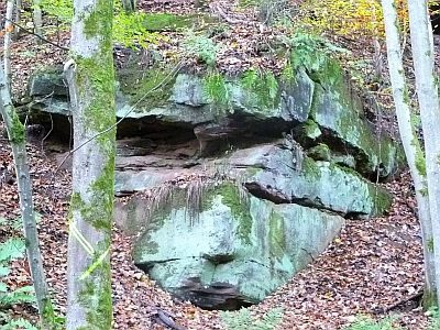 130 m
Extraction and Processing of Raw Materials
Römischer Sandsteinbruch Bähresley
 200 m
Charcoal Kilns
Ehemaliger Meilerplatz
200 m
Charcoal Kilns
Ehemaliger Meilerplatz
250 m
Charcoal Kilns
Ehemaliger Meilerplatz
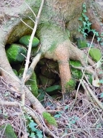 320 m
Springs
Quelle des Kutbaches
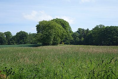 320 m
Settlements
Römische Siedlungsstelle Am Kießem
330 m
Field Names
Kiesem
350 m
Field Names