Place Names / Local History · Gothic
Ortsname / Ortsgeschichte


© GeoBasis-DE / LVermGeoRP, dl-de/by-2-0
There is no picture of this object yet. Do you have a photo that you would like to make available to the Kulturdatenbank? Submit a picture
Description
This description is only available in German.
Translate with Google opens this page in Google Translate (external service)
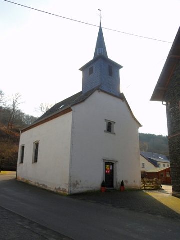
In Gräfendhron befand sich ein im Jahre 1255 bezeugter Wohnsitz mit Haus der Beatrix, Witwe des Nikolaus Vogt von Hunolstein. Im 14. Jahrhundert gehörte der Ort zur Herrschaft Hunolstein. Der Name Gräfendhron wird in Verbindung gebracht mit der ursprünglich gräflich-luxemburgischen Zugehörigkeit. Die katholische Kapelle inmitten des Dorfes konnte im Jahre 1785 fertiggestellt werden.
Classification
- Subject area
- History
- Category
- Place Names / Local History
- Date
- 1255
- Period
- Gothic
Location
- District
- Bernkastel-Wittlich
- Collective municipality
- Thalfang am Erbeskopf
- Municipality
- Gräfendhron
- Field name
- Ortslage
- Coordinates
- WGS 84: 49.793788, 6.992908 (Position: within the village) WGS 84: 49° 47′ 37.6″ N, 6° 59′ 34.5″ E UTM 32 (ETRS89): E 355548 · N 5517636
Sources
Data sources
On the internet
Last edited: 7 Oct 2003 Object ID: 1862
https://kulturdb.de/en/objekt/1862-graefendhron-ortsname-ortsgeschichte
Nearby
The nearest objects
 20 m
Catholic Churches
Sankt Wendalinus
Wayside Shrines and Stations of the Cross
Wegekreuz
Mills
Gräfendhroner Mühle an der Dhron
Road Transport
Straßenbrücke über die Dhron
Mills
Ehemalige Kimmlingmühle an der Dhron
Field Names
Vorn auf der Acht
Field Names
Beim Kirchensoden
Field Names