Field Names · Historicism / Art Nouveau
Bei der Kirch


Description
This description is only available in German.
Translate with Google opens this page in Google Translate (external service)
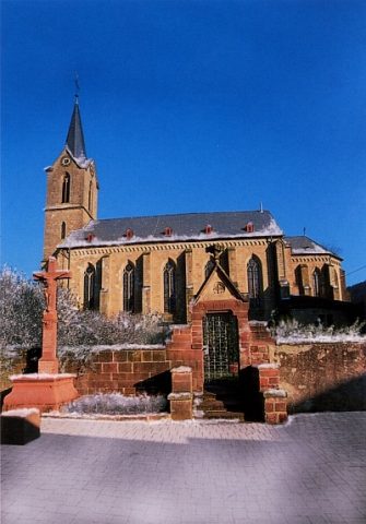
Das Kirchengebiet reichte bis an die Kyll. Für den Bahnbau erwarb der Staat das beanspruchte Gelände 1870 käuflich von der Kirche. Die Pfarrkirche wurde 1865 bis 1870 erbaut. Das Pfarrhaus kurz nach 1890. [1]
Classification
- Subject area
- History
- Category
- Field Names
- Date
- 1857
Location
- District
- Trier-Saarburg
- Collective municipality
- Trier-Land
- Municipality
- Kordel
- Street
- Schulstraße
- Field name
- Bei der Kirch
- Coordinates
- WGS 84: 49.840403, 6.635064 (Position: exact) WGS 84: 49° 50′ 25.5″ N, 6° 38′ 06.2″ E UTM 32 (ETRS89): E 329960 · N 5523569
Sources
Data sources
- [1] Anton Obser: Kordel. Geschichte der Kylltalgemeinde. Hrsg. Ortsgemeinde Kordel, 1982.
- [2] Preußische Katasterkarte der Gemeinde Cordel von 1857. Archiv der Ortsgemeinde, 2017.
On the internet
Picture credits
Last edited: 20 Dec 2015 Object ID: 18663
https://kulturdb.de/en/objekt/18663-kordel-bei-der-kirch
Nearby
The nearest objects
Chronograms
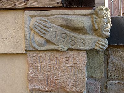
Chronogramme am ehemaligen Pfarrhaus
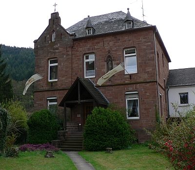 20 m
Rectories
Pfarrhaus
 20 m
Inscriptions
Sankt Amandus u. Sankt Vedastus - Altarinschrift
 20 m
War Memorials
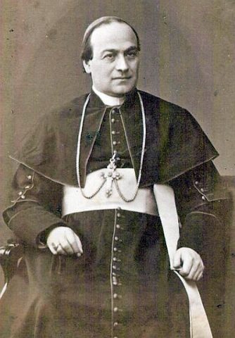
Altes Friedhofskreuz für Pfarrer Wolsfelt
 20 m
Nativity Scenes
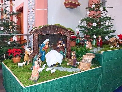
Sankt Amandus u. Sankt Vedastus - Weihnachtskrippe
 30 m
Works of Art
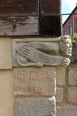
Sankt Amandus u. Sankt Vedastus - Männchen
 30 m
Inscriptions
Sankt Amandus u. Sankt Vedastus - Inschriften
 30 m
Catholic Churches