Settlements · Celtic / Roman Period
Römischer Siedlungsplatz
Ortskern

Classification
- Subject area
- Archaeological Monuments
- Category
- Settlements
- Object type
- Settlements
- Date
- Circa 500 vor Chr. bis circa 500 nach Chr.
- Period
- Celtic / Roman Period
Location
- District
- Bernkastel-Wittlich
- Collective municipality
- Einheitsgemeinde Morbach
- Municipality
- Morbach
- Locality / location
- Wederath
- Field name
- Ortslage
- Coordinates
- WGS 84: 49.866633, 7.163851 (Position: exact) WGS 84: 49° 51′ 59.9″ N, 7° 09′ 49.9″ E UTM 32 (ETRS89): E 368049 · N 5525419
Sources
Data sources
- Leipziger online-Beiträge zur Ur- und Frühgeschichtlichen Archäologie 31. Herausgegeben von Sabine Rieckhoff, Wolf-Rüdiger Teegen und Sabine Wolfram. Leipzig 2008. ISSN 1612-4227. http://www.uni-leipzig.de
On the internet
Picture credits
- Picture 1: © Lothar Monshausen, Fotostream http://www.flickr.com/photos/lomo56/tags/meteorite/
Last edited: 21 Jul 2010 Object ID: 18682
https://kulturdb.de/en/objekt/18682-morbach-roemischer-siedlungsplatz
Nearby
The nearest objects
No picture
30 m
Wayside Shrines and Stations of the Cross
Wegekreuz
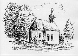 80 m
Catholic Churches
Kirche Kreuzauffindung
 90 m
Lime Trees
Linde
No picture
90 m
Mills
Ehemalige Mühle
No picture
150 m
Mills
Ehemalige Mühle am Trabener Bach
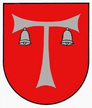 160 m
Coats of Arms
Wappen von Morbach-Wederath
 160 m
Place Names / Local History
Ortsname / Ortsgeschichte
No picture
160 m
Extraction and Processing of Raw Materials