Road Transport · Prehistory / Early History
Eisenzeitliche Straße über die Halster Höhe


© GeoBasis-DE / LVermGeoRP, dl-de/by-2-0
There is no picture of this object yet. Do you have a photo that you would like to make available to the Kulturdatenbank? Submit a picture
Classification
- Subject area
- Archaeological Monuments
- Category
- Economy, Trade and Transport
- Object type
- Road Transport
- Date
- Bis circa 500 vor Chr.
Location
- District
- Bernkastel-Wittlich
- Collective municipality
- Bernkastel-Kues
- Municipality
- Kleinich
- Locality / location
- Oberkleinich
- Field name
- Auf Hahlsart
- Coordinates
- WGS 84: 49.869095, 7.190479 (Position: exact) WGS 84: 49° 52′ 08.7″ N, 7° 11′ 25.7″ E UTM 32 (ETRS89): E 369969 · N 5525646
Sources
Data sources
- Leipziger online-Beiträge zur Ur- und Frühgeschichtlichen Archäologie 31. Herausgegeben von Sabine Rieckhoff, Wolf-Rüdiger Teegen und Sabine Wolfram. Leipzig 2008. ISSN 1612-4227. http://www.uni-leipzig.de
On the internet
Last edited: 22 Jul 2010 Object ID: 18692
https://kulturdb.de/en/objekt/18692-kleinich-eisenzeitliche-strasse-ueber-die-halster-hoehe
Nearby
The nearest objects
 140 m
Execution Sites
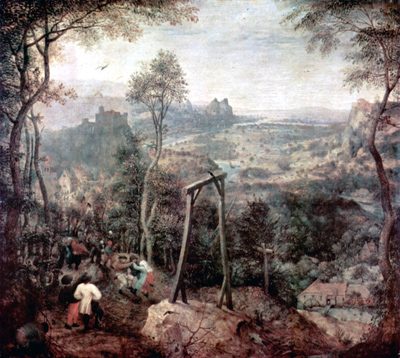
Hochgerichtsheide auf der Halster Höhe
No picture
680 m
Temples, Sanctuaries
Römisches Heiligtum
No picture
700 m
Burial Mounds
Hügelgrab
No picture
730 m
Burial Mounds
Hügelgrab
 750 m
Fountains and Wells
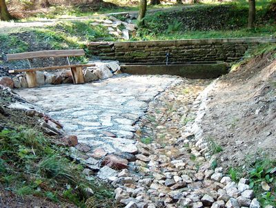
Wilhelmsbrunnen
No picture
770 m
Burial Mounds
Hügelgrab
 800 m
Settlements
Römischer Siedlungsplatz
No picture
880 m
Road Transport