Temples, Sanctuaries · Celtic / Roman Period
Tempelbezirk


© GeoBasis-DE / LVermGeoRP, dl-de/by-2-0
There is no picture of this object yet. Do you have a photo that you would like to make available to the Kulturdatenbank? Submit a picture
Classification
- Subject area
- Archaeological Monuments
- Category
- Religious Buildings
- Object type
- Temples, Sanctuaries
- Date
- Circa 500 vor Chr. bis circa 500 nach Chr.
- Period
- Celtic / Roman Period
Location
- District
- Bernkastel-Wittlich
- Collective municipality
- Einheitsgemeinde Morbach
- Municipality
- Morbach
- Locality / location
- Wederath
- Field name
- Im Danteswald
- Coordinates
- WGS 84: 49.855230, 7.165843 (Position: exact) WGS 84: 49° 51′ 18.8″ N, 7° 09′ 57.0″ E UTM 32 (ETRS89): E 368161 · N 5524148
Sources
Data sources
- Leipziger online-Beiträge zur Ur- und Frühgeschichtlichen Archäologie 31. Herausgegeben von Sabine Rieckhoff, Wolf-Rüdiger Teegen und Sabine Wolfram. Leipzig 2008. ISSN 1612-4227. http://www.uni-leipzig.de
On the internet
Last edited: 23 Jul 2010 Object ID: 18703
https://kulturdb.de/en/objekt/18703-morbach-tempelbezirk
Nearby
The nearest objects
No picture
80 m
Viewpoints
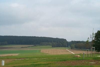
Aussichtspunkt
 90 m
Museums
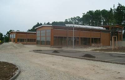
Belginum Archäologiepark
 200 m
Settlements
Römische Siedlung Vicus Belginum
No picture
330 m
Settlements
Römische Straßensiedlung
 350 m
Town Fortifications
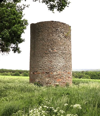
Stumpfer Turm - Ehemaliger Wartturm
No picture
350 m
Wayside Shrines and Stations of the Cross
Wegekreuz
No picture
370 m
Road Transport
Römische Straße
 500 m
Settlements