Rocks · Undated
Grafenfels


Classification
- Subject area
- Natural Features
- Category
- Rocks
- Date
- Undatiert
- Period
- Undated
Location
- District
- Bernkastel-Wittlich
- Collective municipality
- Wittlich-Land
- Locality / location
- Niedermanderscheid
- Field name
- Aufm Loborn
- Coordinates
- WGS 84: 50.092701, 6.820699 (Position: exact) WGS 84: 50° 05′ 33.7″ N, 6° 49′ 14.5″ E UTM 32 (ETRS89): E 344123 · N 5551212
Sources
Data sources
- [1] Friedbert Wißkirchen, Daun, 2009
On the internet
Picture credits
Last edited: 19 Mar 2020 Object ID: 18711
https://kulturdb.de/en/objekt/18711-manderscheid-bernkastel-wittlich-grafenfels
Nearby
The nearest objects
 less than 10 m
Viewpoints
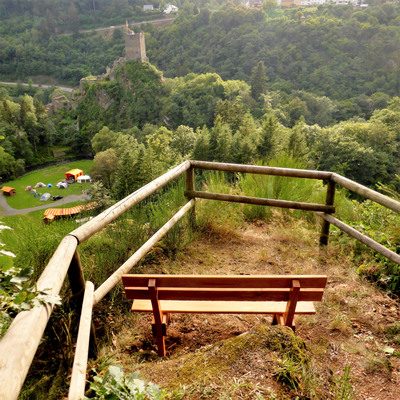
Aussichtspunkt Grafenfels
No picture
120 m
Fortresses and Bunkers
Ehemalige Flakbatterie
No picture
160 m
Viewpoints
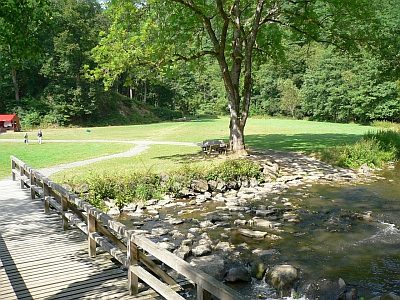
Ehemaliger Aussichtspunkt Lieserfriede
 160 m
Recreation and Sports Facilities
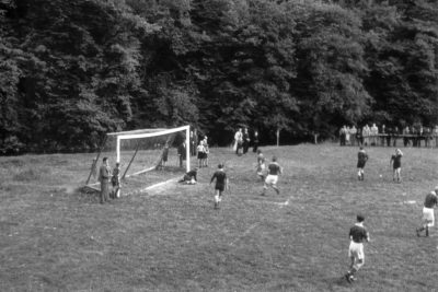
Turnierwiese
 160 m
Recreation and Sports Facilities
Turnierwiese - ehemaliger Sportplatz
No picture
230 m
Fortresses and Bunkers
Ehemalige Flakbatterie
 260 m
Wayside Shrines and Stations of the Cross
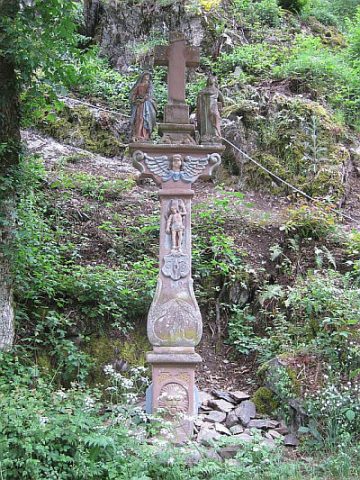
Niedermanderscheider Kreuz (Cremer Kreuz)
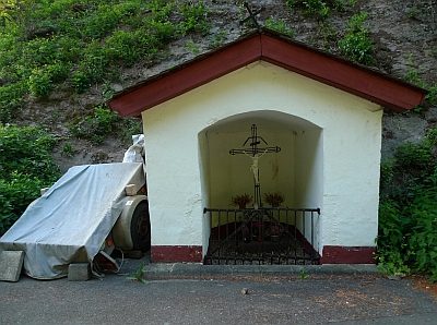 270 m
Wayside Shrine Houses