Place Names / Local History · Prehistory / Early History
Steinzeitliche Funde

Description
This description is only available in German.
Translate with Google opens this page in Google Translate (external service)
Steinzeitliche Funde weisen auf erste Siedlungsstellen, die als Werkplätze unserer frühen Vorfahren dienten, hin, und Münzfunde belegten dass die Römer sich im weiteren Verlauf der Geschichte hier ansiedelten.
Classification
- Subject area
- History
- Category
- Place Names / Local History
- Date
- Bis circa 500 vor Chr.
Location
- District
- Trier-Saarburg
- Collective municipality
- Saarburg-Kell
- Municipality
- Mannebach (Trier-Saarburg)
- Locality / location
- Mannebach
- Field name
- Ortslage
- Coordinates
- WGS 84: 49.633374, 6.508430 (Position: within the village) WGS 84: 49° 38′ 00.1″ N, 6° 30′ 30.3″ E UTM 32 (ETRS89): E 320091 · N 5500850
Sources
Data sources
- Internet
On the internet
Picture credits
- Picture 1: © Helge Rieder, Konz, 2001
Last edited: 3 Dec 2001 Object ID: 1874
https://kulturdb.de/en/objekt/1874-mannebach-trier-saarburg-steinzeitliche-funde
Nearby
The nearest objects
 30 m
Catering, Inns and Hotels
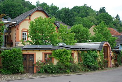
Brauhaus
 40 m
Wayside Shrines and Stations of the Cross
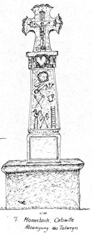
Fronleichnamskreuz
 40 m
Works of Art
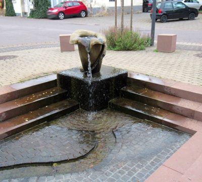
Dorfbrunnen am kleinen Dorfplatz
Field Names
Pesch im Dorf
 60 m
Wayside Shrines and Stations of the Cross
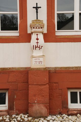
Schaftkreuz am Bürgerhaus
Field Names
Im Grossen Garten
Field Names
Im Dorf am Grossengarten
Field Names