Extraction and Processing of Raw Materials · Celtic / Roman Period
Ehemaliger Steinbruch


© GeoBasis-DE / LVermGeoRP, dl-de/by-2-0
There is no picture of this object yet. Do you have a photo that you would like to make available to the Kulturdatenbank? Submit a picture
Description
This description is only available in German.
Translate with Google opens this page in Google Translate (external service)
Am ursprünglich unbebauten, flachen Hanggelände zwischen den Straßen Im Mont und Bitburger Straße, nordwestlich der Kirche, wurde eine ausgedehnte römische Hausanlage festgestellt, der sich ein römischer Steinbruch anschloß. Ein in der Nähe im Flurnamen überlieferter Kalkofen ist in seiner Zeitstellung nicht eingeordnet. [2]
Classification
- Subject area
- Architectural and Art Monuments
- Category
- Economy, Trade and Transport
- Object type
- Extraction and Processing of Raw Materials
- Date
- Circa 500 vor Chr. bis circa 500 nach Chr.
- Period
- Celtic / Roman Period
Location
- District
- Trier-Saarburg
- Collective municipality
- Trier-Land
- Municipality
- Newel
- Locality / location
- Butzweiler
- Field name
- Beim weißen Kreuz
- Coordinates
- WGS 84: 49.814020, 6.611150 (Position: exact) WGS 84: 49° 48′ 50.5″ N, 6° 36′ 40.1″ E UTM 32 (ETRS89): E 328147 · N 5520691
Sources
Data sources
- [1] Topographische Karte von 1885.
- [2] [2] Hompage der Ortsgemeinde Newel http://www.newel.de/butzweiler.html
On the internet
Last edited: 16 Aug 2017 Object ID: 18751
https://kulturdb.de/en/objekt/18751-newel-ehemaliger-steinbruch
Nearby
The nearest objects
Field Names
Zeinichloch
Field Names
Beim weißen Kreuz
Viewpoints
Aussichtspunkt
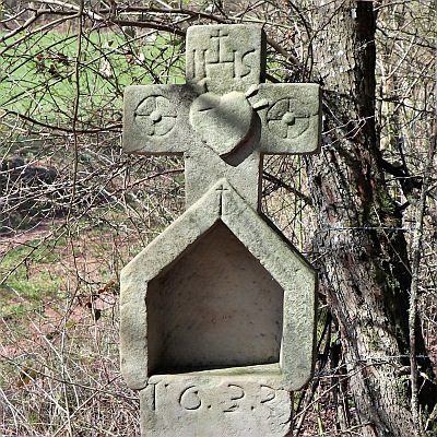 190 m
Wayside Shrines and Stations of the Cross
Weißes Kreuz
 190 m
Settlements
Römische Siedlungsstelle
Lime Kilns
Ehemalige Kalköfen
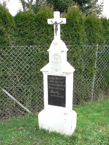 210 m
Wayside Shrines and Stations of the Cross
Nischenkreuz
Field Names