Mills · Historicism / Art Nouveau
Ehemalige Schleifmühle


© GeoBasis-DE / LVermGeoRP, dl-de/by-2-0
There is no picture of this object yet. Do you have a photo that you would like to make available to the Kulturdatenbank? Submit a picture
Classification
- Subject area
- Architectural and Art Monuments
- Object type
- Mills
- Date
- 1729-1766
Location
- District
- Eifelkreis Bitburg-Prüm
- Collective municipality
- Verbandsfreie Gemeinde Bitburg
- Town
- Bitburg
- Field name
- Unter dem Weiher
- Coordinates
- WGS 84: 49.970395, 6.536158 (Position: exact) WGS 84: 49° 58′ 13.4″ N, 6° 32′ 10.2″ E UTM 32 (ETRS89): E 323325 · N 5538249
Sources
Data sources
- Zur Geschichte der Mühlen in Bitburg Stadt und Land. Beiträge zur Geschichte des Bitburger Landes, Heft 3, 1991. http://www.gak-bitburg.de/
On the internet
Last edited: 28 Jan 2013 Object ID: 18778
https://kulturdb.de/en/objekt/18778-bitburg-ehemalige-schleifmuehle
Nearby
The nearest objects
No picture
270 m
Field Names
Bei Klewerborn
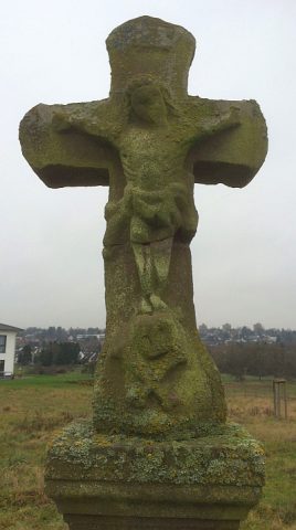 390 m
Wayside Shrines and Stations of the Cross
Eberschweiler-Kreuz
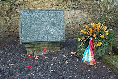 510 m
Jewish History
Jüdische Geschichte
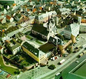 560 m
Educational Trails
Route Gottfried von Bouillon
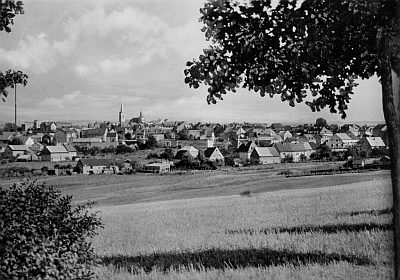 560 m
Educational Trails
Straße der ländlichen Kultur
No picture
700 m
Street Names
Maria-Kundenreich-Straße
 740 m
Barracks
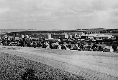
Kasernen Mötscher Straße (1)
 740 m
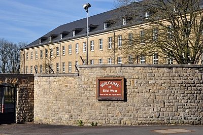
Barracks