Mills · Historicism / Art Nouveau
Ehemalige Mühle am Albach


© GeoBasis-DE / LVermGeoRP, dl-de/by-2-0
There is no picture of this object yet. Do you have a photo that you would like to make available to the Kulturdatenbank? Submit a picture
Classification
- Subject area
- Architectural and Art Monuments
- Object type
- Mills
- Date
- 1885
Location
- District
- Trier-Saarburg
- Collective municipality
- Konz
- Municipality
- Tawern
- Street
- Mühlenstraße
- Field name
- Mühlenwies
- Coordinates
- WGS 84: 49.674859, 6.512617 (Position: presumed) WGS 84: 49° 40′ 29.5″ N, 6° 30′ 45.4″ E UTM 32 (ETRS89): E 320546 · N 5505452
Sources
Data sources
- [1] Topographische Karte von 1885.
On the internet
Last edited: 11 Aug 2010 Object ID: 18844
https://kulturdb.de/en/objekt/18844-tawern-ehemalige-muehle-am-albach
Nearby
The nearest objects
No picture
170 m
Extraction and Processing of Raw Materials
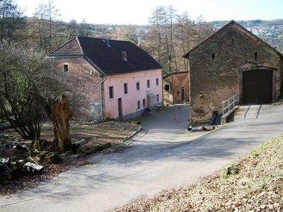
Ehemaliger Steinbruch
 210 m
Mills
Mertenmühle am Albach
No picture
230 m
Road Transport
Spanische Ecke
No picture
270 m
Field Names
Klasbungert
No picture
290 m
Field Names
Unter der Scheuskirch
 330 m
War Memorials
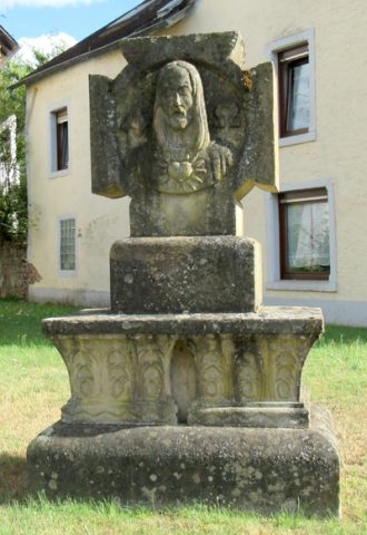
Kriegerdenkmal
 340 m
Catholic Churches
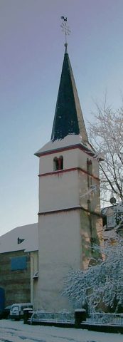
Alter Kirchturm
No picture
370 m
Lime Kilns