Ferries · Historicism / Art Nouveau
Ehemalige Wagenfähre

Classification
- Subject area
- Architectural and Art Monuments
- Category
- Economy, Trade and Transport
- Object type
- Ferries
- Date
- 1885
Location
- District
- Bernkastel-Wittlich
- Collective municipality
- Bernkastel-Kues
- Municipality
- Erden
- Street
- Am Moselufer
- Field name
- [Mosel]
- Coordinates
- WGS 84: 49.980409, 7.024158 (Position: exact) WGS 84: 49° 58′ 49.5″ N, 7° 01′ 27.0″ E UTM 32 (ETRS89): E 358344 · N 5538323
Sources
Data sources
- [1] Topographische Karte von 1885.
- [2] The Moselle from Coblence to Trier. Köln a. Rh. ca. 1900 - http://www.dilibri.de/urn/urn:nbn:de:0128-1-19428
On the internet
Picture credits
- Picture 1: The Moselle from Coblence to Trier. Köln a. Rh. ca. 1900 - http://www.dilibri.de/urn/urn:nbn:de:0128-1-19428
Last edited: 11 Aug 2010 Object ID: 18859
https://kulturdb.de/en/objekt/18859-erden-ehemalige-wagenfaehre
Nearby
The nearest objects
No picture
110 m
Farmhouses and Farm Buildings
Wohnhaus
No picture
130 m
Farmhouses and Farm Buildings
Wohnhaus
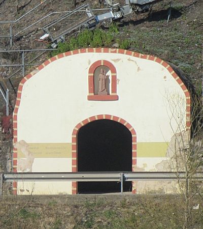 130 m
Chapels
Kapelle bei der B 53
No picture
150 m
Farmhouses and Farm Buildings
Haus Paulinerstraße 4
No picture
150 m
Farmhouses and Farm Buildings
Haus Paulinerstraße 6
No picture
160 m
Farmhouses and Farm Buildings
Haus Paulinerstraße 8
No picture
160 m
Farmhouses and Farm Buildings
Haus Paulinerstraße 10
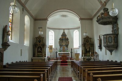 170 m
Altars