Extraction and Processing of Raw Materials · Historicism / Art Nouveau
Schiefer-Bruch Laienkaul


© GeoBasis-DE / LVermGeoRP, dl-de/by-2-0
There is no picture of this object yet. Do you have a photo that you would like to make available to the Kulturdatenbank? Submit a picture
Description
This description is only available in German.
Translate with Google opens this page in Google Translate (external service)
Laienkaul /Lääkaul in der Nähe des ehemaligen Bahnhofsweges, heute Landesstraße Nr. 152. Dort befand sich bis ins 19. Jahrhundert eine Schiefergrube. Es wurden, zum Teil über Jahrhunderte, Laien zur Dachbedeckung durch den Laiendecker, hergestellt. Ein Kulturdenkmal in zweifacher Hinsicht, das in den 1970-er Jahren mit Straßenaushub zuge-schüttet wurde. [2]
Classification
- Subject area
- Architectural and Art Monuments
- Category
- Economy, Trade and Transport
- Object type
- Extraction and Processing of Raw Materials
- Date
- 1905
Location
- District
- Trier-Saarburg
- Collective municipality
- Hermeskeil
- Municipality
- Beuren (Hochwald)
- Locality / location
- Beuren
- Field name
- Laienkaul
- Coordinates
- WGS 84: 49.723572, 6.923920 (Position: exact) WGS 84: 49° 43′ 24.9″ N, 6° 55′ 26.1″ E UTM 32 (ETRS89): E 350367 · N 5509966
Sources
Data sources
- [1] Topographische Karte von 1905.
- [2] Helmut Schuh, Horath, 2018.
On the internet
Last edited: 13 Dec 2019 Object ID: 18903
https://kulturdb.de/en/objekt/18903-beuren-hochwald-schiefer-bruch-laienkaul
Nearby
The nearest objects
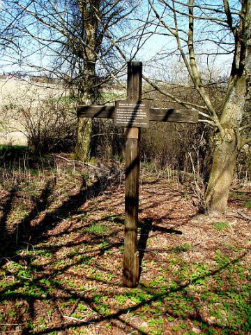 20 m
Wayside Shrines and Stations of the Cross
Gedenkkreuz in der Laienkaul
Extraction and Processing of Raw Materials
Schiefer-Bruch Gottenberg
Field Names
Flachsfelder
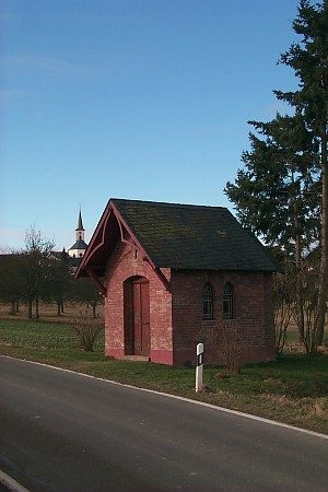 220 m
Chapels
Herz-Jesu-Kapelle
Field Names
Kirchenwies
Field Names
Auf der Kehr
Field Names
Sauerwies
Field Names