Extraction and Processing of Raw Materials · Historicism / Art Nouveau
Steinbruch


© GeoBasis-DE / LVermGeoRP, dl-de/by-2-0
There is no picture of this object yet. Do you have a photo that you would like to make available to the Kulturdatenbank? Submit a picture
Classification
- Subject area
- Architectural and Art Monuments
- Category
- Economy, Trade and Transport
- Object type
- Extraction and Processing of Raw Materials
- Date
- 1886
Location
- District
- Eifelkreis Bitburg-Prüm
- Collective municipality
- Bitburger Land
- Municipality
- Malbergweich
- Field name
- Im Weibach
- Coordinates
- WGS 84: 50.069454, 6.557030 (Position: exact) WGS 84: 50° 04′ 10.0″ N, 6° 33′ 25.3″ E UTM 32 (ETRS89): E 325181 · N 5549212
Sources
Data sources
- [1] Topographische Karte von 1886.
On the internet
Last edited: 13 Dec 2007 Object ID: 18916
https://kulturdb.de/en/objekt/18916-malbergweich-steinbruch
Nearby
The nearest objects
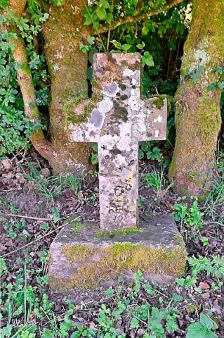 780 m
Wayside Shrines and Stations of the Cross
Theiskreuz
No picture
800 m
Field Names
Beim Maar
No picture
940 m
Field Names
Am Hohrech
No picture
960 m
Fossils
Fundstellen tierischer Versteinerungen
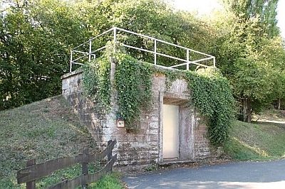 1.0 km
Water Supply
Wasserhochbehälter
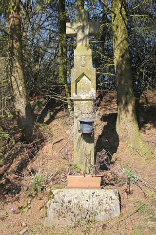 1.0 km
Wayside Shrines and Stations of the Cross
Weibischkreuz
No picture
1.1 km
Field Names
Lachenborn
No picture
1.2 km
Field Names