Engineering Structures and Industrial Sites · Historicism / Art Nouveau
Sogenannte Hungerburg - Ehemalige Zigarrenfabrik


© GeoBasis-DE / LVermGeoRP, dl-de/by-2-0
There is no picture of this object yet. Do you have a photo that you would like to make available to the Kulturdatenbank? Submit a picture
Description
This description is only available in German.
Translate with Google opens this page in Google Translate (external service)
Die Bezeichnung geht auf die Zeit vor dem 20. Jahrhundert zurück, als hier noch Zigarren hergestellt wurden und, wie eine Aufnahme der Beschäftigten vor 1896 zeigt, viel Kinderarbeit geleistet wurde. [1]
Classification
- Subject area
- Architectural and Art Monuments
- Date
- 1886
Location
- District
- City of Trier
- Collective municipality
- Verbandsfreie Gemeinde Trier
- Town
- Trier
- Locality / location
- Ruwer/Eitelsbach
- Street
- Ruwerer Straße
- Field name
- Ortslage
- Coordinates
- WGS 84: 49.776128, 6.687940 (Position: exact) WGS 84: 49° 46′ 34.1″ N, 6° 41′ 16.6″ E UTM 32 (ETRS89): E 333541 · N 5516305
Sources
Data sources
- [1] Matthias Kordel: Ruwer im Wandel der Zeit. Band 2. Verlag Michael Weyand, Trier, 2011. ISBN 978-3-935 281-85-0
- [2] Topographische Karte von 1886.
On the internet
Last edited: 21 Jan 2012 Object ID: 18969
https://kulturdb.de/en/objekt/18969-trier-sogenannte-hungerburg-ehemalige-zigarrenfabrik
Nearby
The nearest objects
 100 m
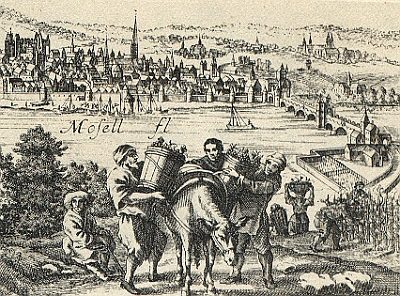
Vineyard Sites
Gegenüber Pfalzel
Railways
Moseltalbahn - Ehemaliger Haltepunkt
 360 m
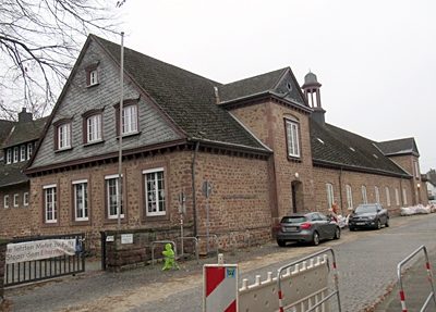
Schools
Gregor-von-Pfalzel-Grundschule
 360 m
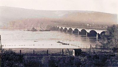
Railways
Eisenbahnbrücke über die Mosel
 390 m
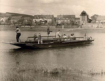
Ferries
Ehemalige Personenfähre
 420 m
Chapels
Marienkapelle
Churches
Abgebrannte alte Pfarrkirche
Street Names