Historic Townscapes · Neoclassicism
Schönecker Stiegen - Burgstieg
- Listed monument


Description
This description is only available in German.
Translate with Google opens this page in Google Translate (external service)
Der schmale Weg nimmt seinen Ausgang zwischen den Anwesen Von-Hersel-Straße 16 und 20, führt in nordwestlicher Richtung schräg den steilen, unbebauten Burgberg hinauf und endet in einer kleinenGehöftgruppe südöstlich unterhalb der Burgmauer.
Ob von hier aus ehemals ein Zugang zur Burg bestand, ist nicht mehr nachvollziehbar, aber wahrscheinlich; die Tranchot-Karte (um 1810) zeigt schon den heutigen Zustand. [1]
Classification
- Subject area
- Architectural and Art Monuments
- Category
- Historic Townscapes
- Date
- 1810
- Period
- Neoclassicism
Location
- District
- Eifelkreis Bitburg-Prüm
- Collective municipality
- Prüm
- Municipality
- Schönecken
- Street
- Burgstieg
- Field name
- Ortslage
- Coordinates
- WGS 84: 50.159588, 6.463617 (Position: exact) WGS 84: 50° 09′ 34.5″ N, 6° 27′ 49.0″ E UTM 32 (ETRS89): E 318838 · N 5559454
Sources
Data sources
- [1] Denkmaltopographie Bundesrepublik Deutschland, Kulturdenkmäler in Rheinland-Pfalz, Kreis Bitburg-Prüm, 9.3 Wernersche Verlagsgesellschaft ISBN 3-88462-170-X
On the internet
Picture credits
Last edited: 20 Sep 2010 Object ID: 19029
https://kulturdb.de/en/objekt/19029-schoenecken-schoenecker-stiegen-burgstieg
Nearby
The nearest objects
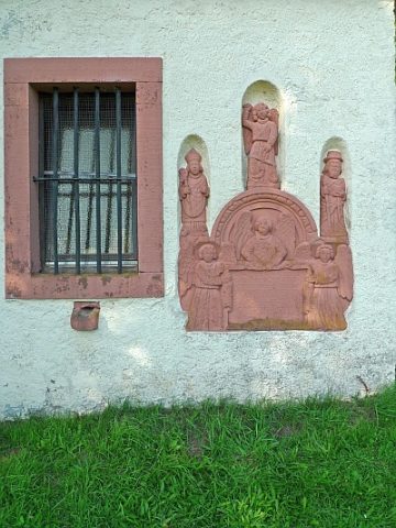 20 m
Altars
Sankt Antonius - Altaraufsatz an der Sakristei
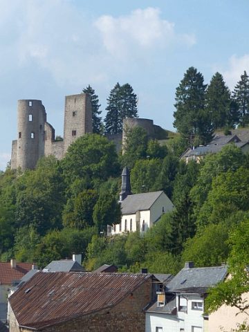 30 m
Catholic Churches
Sankt Antonius - Katholische Filialkirche
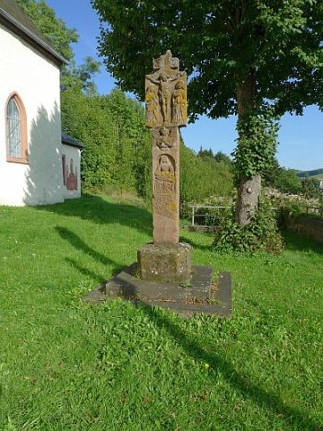 40 m
Wayside Shrines and Stations of the Cross
Sankt Antonius - Kreuzigungsbildstock
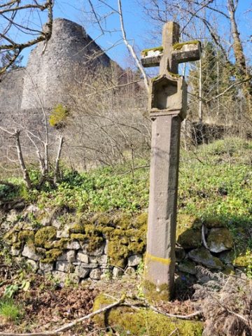 60 m
Wayside Shrines and Stations of the Cross
Nischenkreuz
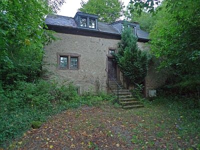 60 m
Farmhouses and Farm Buildings
Wohnhaus
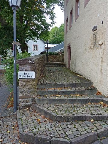 60 m
Historic Townscapes
Schönecker Stiegen - Kapellenstieg
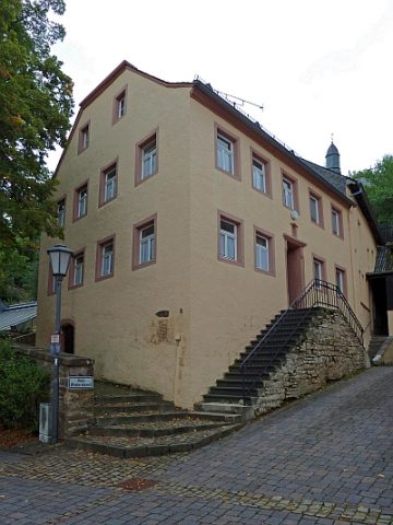 70 m
Town Houses and Commercial Buildings
Haus Neis
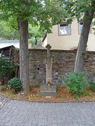 80 m
Wayside Shrines and Stations of the Cross