Extraction and Processing of Raw Materials · Historicism / Art Nouveau
Ehemalige Sandgrube


© GeoBasis-DE / LVermGeoRP, dl-de/by-2-0
There is no picture of this object yet. Do you have a photo that you would like to make available to the Kulturdatenbank? Submit a picture
Classification
- Subject area
- Architectural and Art Monuments
- Category
- Economy, Trade and Transport
- Object type
- Extraction and Processing of Raw Materials
- Date
- 1885
Location
- District
- Trier-Saarburg
- Collective municipality
- Saarburg-Kell
- Municipality
- Palzem
- Field name
- Oberm Heuweg
- Coordinates
- WGS 84: 49.570374, 6.368500 (Position: exact) WGS 84: 49° 34′ 13.3″ N, 6° 22′ 06.6″ E UTM 32 (ETRS89): E 309743 · N 5494192
Sources
Data sources
- [1] Topographische Karte von 1885.
On the internet
Last edited: 6 Oct 2010 Object ID: 19153
https://kulturdb.de/en/objekt/19153-palzem-ehemalige-sandgrube
Nearby
The nearest objects
No picture
150 m
Field Names
Zwerg Acht
No picture
160 m
Field Names
Grundberg
No picture
240 m
Field Names
Eisengruben
No picture
240 m
Vineyard Sites
Lay
No picture
280 m
Vineyard Sites
Hinterste Wingerten
No picture
350 m
Ferries
Ehemalige Moselfähre
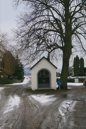 380 m
Lime Trees
Linde an der Wegekapelle
390 m
Chapels