Extraction and Processing of Raw Materials · Historicism / Art Nouveau
Ehemaliger Kalksteinbruch


Classification
- Subject area
- Architectural and Art Monuments
- Category
- Economy, Trade and Transport
- Object type
- Extraction and Processing of Raw Materials
- Date
- Um 1880
Location
- District
- Trier-Saarburg
- Collective municipality
- Saarburg-Kell
- Municipality
- Mannebach (Trier-Saarburg)
- Locality / location
- Mannebach
- Street
- Nitteler Straße
- Field name
- Auf der Schleid
- Coordinates
- WGS 84: 49.635129, 6.503977 (Position: exact) WGS 84: 49° 38′ 06.5″ N, 6° 30′ 14.3″ E UTM 32 (ETRS89): E 319776 · N 5501056
Sources
Data sources
- [1] Topographische Karte von 1885.
- [2] Werner Weber, Mannebach, 2014.
On the internet
Picture credits
Last edited: 18 Aug 2014 Object ID: 19160
https://kulturdb.de/en/objekt/19160-mannebach-trier-saarburg-ehemaliger-kalksteinbruch
Nearby
The nearest objects
 110 m
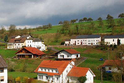
Field Names
Schneidersbungert
 130 m
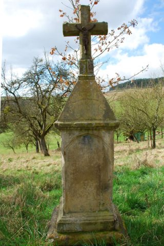
Wayside Shrines and Stations of the Cross
Unfallkreuz In der Steinkaul
No picture
150 m
Field Names
In der Reih
No picture
150 m
Field Names
In der Steinkaul
No picture
180 m
Field Names
Kummer Bungert
No picture
210 m
Field Names
Im Dellfeld
No picture
270 m
Viewpoints
Aussichtspunkt Auf Krummet
 280 m
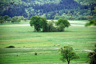
Raised Bogs