Surveying · Undated
Alter Grenzstein beim Langer Stein


Description
This description is only available in German.
Translate with Google opens this page in Google Translate (external service)
Im Kleinlangenfelder Wald, an der östlichen Gemarkungsgrenze. Hier treffen die Grenzen mehrere Gemarkungen zusammen. [1]
Classification
- Subject area
- Architectural and Art Monuments
- Category
- Markers and Monuments
- Object type
- Surveying
- Date
- Undatiert
- Period
- Undated
Location
- District
- Eifelkreis Bitburg-Prüm
- Collective municipality
- Prüm
- Municipality
- Kleinlangenfeld
- Field name
- Auf Huffelsen
- Coordinates
- WGS 84: 50.276027, 6.521325 (Position: exact) WGS 84: 50° 16′ 33.7″ N, 6° 31′ 16.8″ E UTM 32 (ETRS89): E 323390 · N 5572260
Sources
Data sources
- [1] Uwe Widera, 54550 Daun, 2010.
On the internet
de.wikipedia.org/wiki/Kleinlangenfeld
Picture credits
Last edited: 6 Nov 2010 Object ID: 19276
https://kulturdb.de/en/objekt/19276-kleinlangenfeld-alter-grenzstein-beim-langer-stein
Nearby
The nearest objects
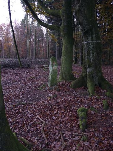 less than 10 m
Surveying
Langer Stein
Field Names
Am Rennpfad
Field Names
Ober Stachroth
Field Names
Branntenbüsch
 950 m
Town Houses and Commercial Buildings
Sogenannte Adenauer-Ruine (1)
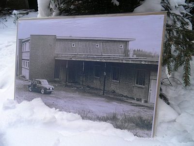 950 m
Town Houses and Commercial Buildings
Sogenannte Adenauer-Ruine (2)
Field Names
Oben im Klingelborn
Field Names