Natural Landscapes · Historicism / Art Nouveau
Ehemalige Hopfenanpflanzungen


Description
This description is only available in German.
Translate with Google opens this page in Google Translate (external service)
Ab etwa 1860 nahm der Hopfenanbau im klimatisch günstigen Kylltal stark zu und blieb bis kurz vor dem Ersten Weltkrieg ein wichtiger Wirtschaftszweig. [1]
Classification
- Subject area
- Natural Features
- Category
- Natural Landscapes
- Date
- 1888
Location
- District
- Eifelkreis Bitburg-Prüm
- Collective municipality
- Bitburger Land
- Municipality
- Malberg
- Field name
- Hinter Kyllburg
- Coordinates
- WGS 84: 50.043775, 6.588451 (Position: exact) WGS 84: 50° 02′ 37.6″ N, 6° 35′ 18.4″ E UTM 32 (ETRS89): E 327337 · N 5546284
Sources
Data sources
- [1] Denkmaltopographie Bundesrepublik Deutschland, Kulturdenkmäler in Rheinland-Pfalz, Kreis Bitburg-Prüm, 9.1 Wernersche Verlagsgesellschaft 1994. ISBN 3-88462-081-9
- [2] Topographische Karte von 1888.
On the internet
Picture credits
Last edited: 6 Dec 2017 Object ID: 19314
https://kulturdb.de/en/objekt/19314-malberg-ehemalige-hopfenanpflanzungen
Nearby
The nearest objects
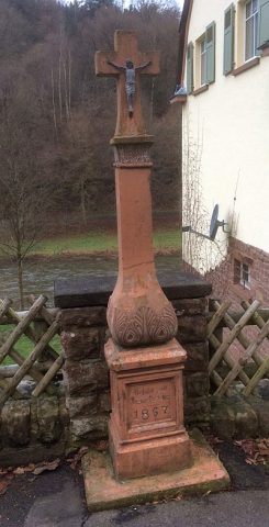 120 m
Wayside Shrines and Stations of the Cross
Schaftkreuz an der Straße nach Kyllburg
Town Houses and Commercial Buildings
Einfamilienhaus
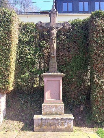 200 m
Wayside Shrines and Stations of the Cross
Kirchhofskreuz
Field Names
Rabenpesch
Town Houses and Commercial Buildings
Wohnhaus
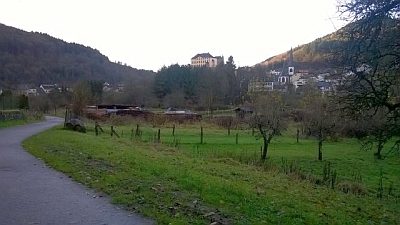 230 m
Natural Landscapes
Ehemalige Hopfenanpflanzungen an der Kyll
Town Houses and Commercial Buildings
Wohn- und Geschäftshaus
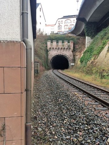 250 m
Railways