Natural Landscapes · Historicism / Art Nouveau
Ehemalige Hopfenanpflanzungen an der Kyll


© GeoBasis-DE / LVermGeoRP, dl-de/by-2-0
There is no picture of this object yet. Do you have a photo that you would like to make available to the Kulturdatenbank? Submit a picture
Classification
- Subject area
- Natural Features
- Category
- Natural Landscapes
- Date
- 1888
Location
- District
- Eifelkreis Bitburg-Prüm
- Collective municipality
- Bitburger Land
- Town
- Kyllburg
- Field name
- Ueber Kyll
- Coordinates
- WGS 84: 50.039853, 6.585221 (Position: exact) WGS 84: 50° 02′ 23.5″ N, 6° 35′ 06.8″ E UTM 32 (ETRS89): E 327092 · N 5545855
Sources
Data sources
- [1] Topographische Karte von 1888.
On the internet
Last edited: 15 Nov 2010 Object ID: 19315
https://kulturdb.de/en/objekt/19315-kyllburg-ehemalige-hopfenanpflanzungen-an-der-kyll
Nearby
The nearest objects
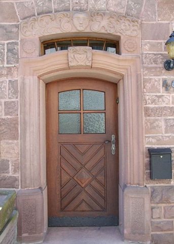 200 m
Town Houses and Commercial Buildings
Wohnhaus
No picture
210 m
Chapels
Profanierte Kapelle Sankt Matthias
No picture
210 m
Town Houses and Commercial Buildings
Wohnhaus
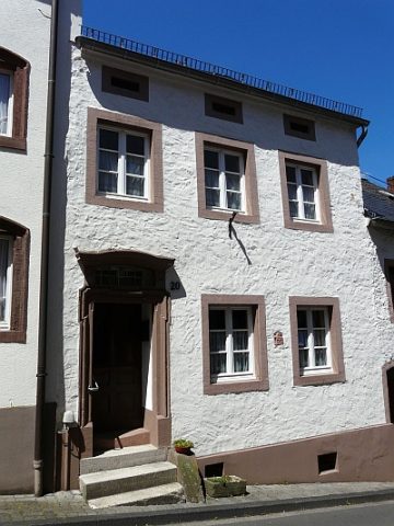 210 m
Town Houses and Commercial Buildings
Wohnhaus
No picture
220 m
Historic Townscapes
Stiftstraße
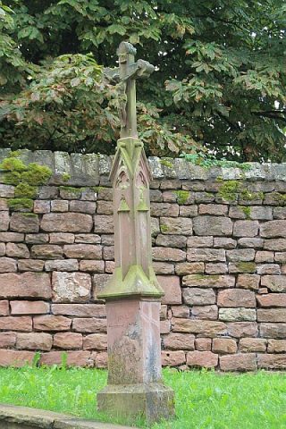 260 m
Wayside Shrines and Stations of the Cross
Schaftkreuz von 1904
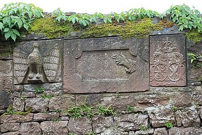 270 m
Inscriptions
Inschrift STIFTSFREYHEIT
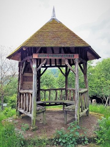 300 m
Viewpoints