Mills · Historicism / Art Nouveau
Ehemalige Mühle


© GeoBasis-DE / LVermGeoRP, dl-de/by-2-0
There is no picture of this object yet. Do you have a photo that you would like to make available to the Kulturdatenbank? Submit a picture
Classification
- Subject area
- Architectural and Art Monuments
- Object type
- Mills
- Date
- 1895
Location
- District
- Eifelkreis Bitburg-Prüm
- Collective municipality
- Prüm
- Municipality
- Büdesheim
- Street
- Bahnhofstraße
- Field name
- Hängenpesch
- Coordinates
- WGS 84: 50.219106, 6.553337 (Position: exact) WGS 84: 50° 13′ 08.8″ N, 6° 33′ 12.0″ E UTM 32 (ETRS89): E 325463 · N 5565857
Sources
Data sources
- [1] Topographische Karte von 1895.
On the internet
Last edited: 27 Nov 2010 Object ID: 19330
https://kulturdb.de/en/objekt/19330-buedesheim-ehemalige-muehle
Nearby
The nearest objects
No picture
70 m
Wayside Shrines and Stations of the Cross
Nischenkreuz
No picture
110 m
Field Names
Hängenpesch
No picture
230 m
Wayside Shrines and Stations of the Cross
Wegekreuz
No picture
290 m
Wayside Shrines and Stations of the Cross
Wegekreuz
 320 m
Coats of Arms
Wappen der Gemeinde Büdesheim
 320 m
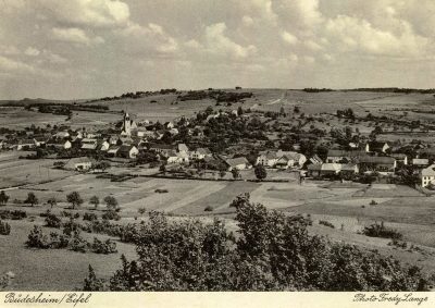
Place Names / Local History
Ortsgeschichte
 340 m
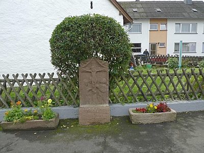
Wayside Shrines and Stations of the Cross
Kreuzigungsbildstock
 430 m
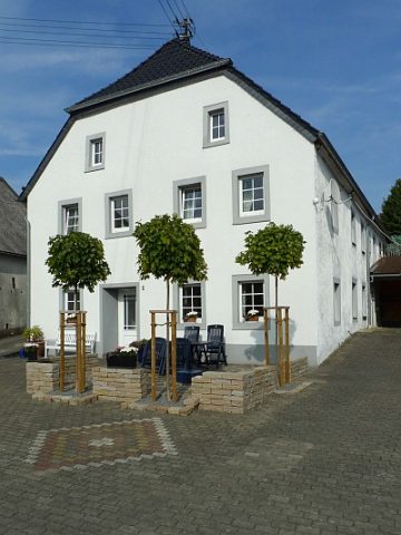
Mills