Town Houses and Commercial Buildings · Baroque / Rococo
Wohnhäuser
- Listed monument


© GeoBasis-DE / LVermGeoRP, dl-de/by-2-0
There is no picture of this object yet. Do you have a photo that you would like to make available to the Kulturdatenbank? Submit a picture
Description
This description is only available in German.
Translate with Google opens this page in Google Translate (external service)
Gruppe aus zwei schlichten Wohnhäusern, im Kern mindestens aus dem 18. Jahrhundert, mehrfach verändert, Keller unter Nr. 54 eventuell mittelalterlich. [1]
Classification
- Subject area
- Architectural and Art Monuments
- Category
- Residential and Farm Buildings
- Object type
- Town Houses and Commercial Buildings
- Date
- 18. Jahrhundert
- Period
- Baroque / Rococo
Location
- District
- City of Trier
- Collective municipality
- Verbandsfreie Gemeinde Trier
- Town
- Trier
- Locality / location
- Trier-Süd
- Street
- Medardstraße 54 und 56
- Field name
- Ortslage
- Coordinates
- WGS 84: 49.735326, 6.628655 (Position: exact) WGS 84: 49° 44′ 07.2″ N, 6° 37′ 43.2″ E UTM 32 (ETRS89): E 329129 · N 5511903
Sources
Data sources
- [1] Denkmalliste der Generaldirektion Kulturelles Erbe, Rheinland-Pfalz; 2010.
On the internet
Last edited: 16 Nov 2010 Object ID: 19338
https://kulturdb.de/en/objekt/19338-trier-sued-wohnhaeuser
Nearby
The nearest objects
Extraction and Processing of Raw Materials
Ehemalige Glashütte
 30 m
Monastic Complexes
Ehemaliges Kloster Sankt Medard
Catholic Churches
Ehemalige Kirche Sankt Medard
 70 m
Chapels
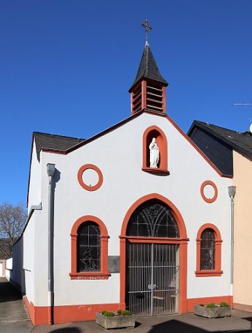
Sankt Medarduskapelle
Town Houses and Commercial Buildings
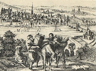
Wohnhaus
 90 m
Vineyard Sites
Weinbau im Mittelalter
100 m
Vineyard Sites
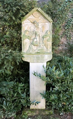
In der Piffen (bei Sankt Matthias)
 100 m
Wayside Shrines and Stations of the Cross