Place Names / Local History · Gothic
Ortsname / Ortsgeschichte

Description
This description is only available in German.
Translate with Google opens this page in Google Translate (external service)
Südlich von Nittel in einer Hochflächenmulde liegt der landwirtschaftlich und weinbaulich geprägte Ortsteil Rehlingen. Mitte des 12. Jahrhunderts wurde Rehlingen als Reildinga urkundlich erwähnt und soll fränkischer Gründung sein. Je ein Drittel dieses Ortsteiles gehörte in der Neuzeit zu Lothringen, Luxemburg und Kurtrier.
Classification
- Subject area
- History
- Category
- Place Names / Local History
- Date
- 12. Jahrhundert
- Period
- Gothic
Location
- District
- Trier-Saarburg
- Collective municipality
- Konz
- Municipality
- Nittel
- Locality / location
- Rehlingen
- Field name
- Ortslage
- Coordinates
- WGS 84: 49.623262, 6.430211 (Position: within the village) WGS 84: 49° 37′ 23.7″ N, 6° 25′ 48.8″ E UTM 32 (ETRS89): E 314406 · N 5499916
Sources
Data sources
- Homepage von Verbandsgemeinde und Stadt Konz
On the internet
Picture credits
- Picture 1: Internet
Last edited: 7 Oct 2003 Object ID: 1935
https://kulturdb.de/en/objekt/1935-nittel-ortsname-ortsgeschichte
Nearby
The nearest objects
Vineyard Sites
Kapellenberg
Field Names
Bungertsgarten
Mills
Mühenstandort am Rehlinger Bach
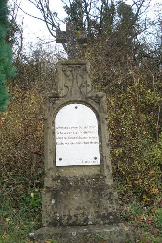 90 m
Wayside Shrines and Stations of the Cross
Wegekreuz
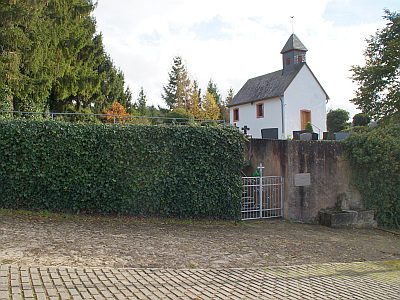 120 m
Catholic Churches
Sankt Martin
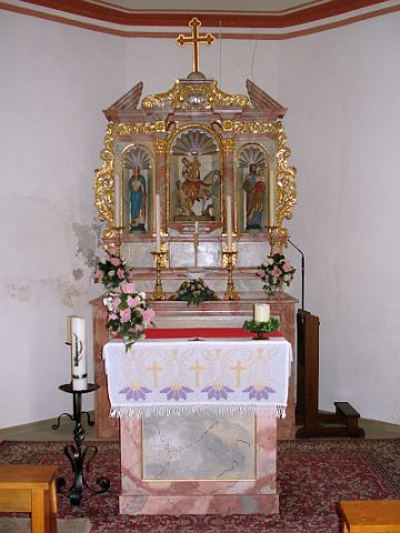 120 m
Altars
Sankt Martin - Altar
120 m
Christian Cemeteries
Sankt Martin - Friedhof
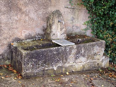 120 m
Fountains and Wells