Historic Townscapes · Renaissance
Denkmalzone Moselstraße
- Listed monument


© GeoBasis-DE / LVermGeoRP, dl-de/by-2-0
There is no picture of this object yet. Do you have a photo that you would like to make available to the Kulturdatenbank? Submit a picture
Description
This description is only available in German.
Translate with Google opens this page in Google Translate (external service)
Südwestlicher Bereich des Altdorfes mit Bausubstanz aus dem 17. bis 19. Jahrhundert, kennzeichnendes Straßenbild. [1]
Classification
- Subject area
- Architectural and Art Monuments
- Category
- Historic Townscapes
- Date
- 17. bis 19. Jahrhundert
- Period
- Renaissance
Location
- District
- Trier-Saarburg
- Collective municipality
- Konz
- Municipality
- Wellen
- Street
- Moselstr. 27/38, 35, 35a, 39, 43–46
- Field name
- Ortslage
- Coordinates
- WGS 84: 49.669207, 6.433013 (Position: within the village) WGS 84: 49° 40′ 09.1″ N, 6° 25′ 58.8″ E UTM 32 (ETRS89): E 314782 · N 5505017
Sources
Data sources
- [1] Seite „Liste der Kulturdenkmäler in Wellen (Mosel)“. In: Wikipedia – Die freie Enzyklopädie. Bearbeitungsstand: 30. September 2020, 17:41 UTC. URL: https://de.wikipedia.org/w/index.php?title=Liste_der_Kulturdenkm%C3… (Abgerufen: 21. Oktober 2021, 13:04 UTC)
On the internet
Last edited: 21 Oct 2021 Object ID: 1957
https://kulturdb.de/en/objekt/1957-wellen-denkmalzone-moselstrasse
Nearby
The nearest objects
Farmhouses and Farm Buildings
Dreiseithof
 80 m
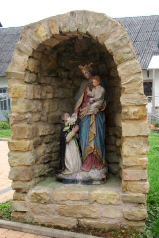
Marian Grottoes
Mariengrotte
 90 m
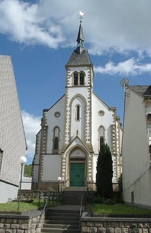
Catholic Churches
Sankt Kunibert
 110 m
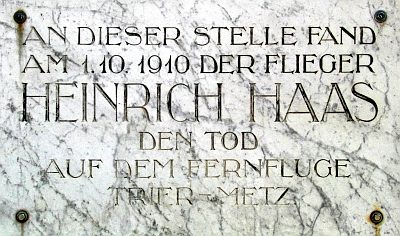
Monuments
Gedenktafel für Heinrich Haas
Farmhouses and Farm Buildings
Quereinhaus
 330 m
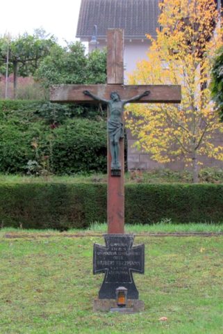
War Memorials
Gefallenen-Gedenkkreuz
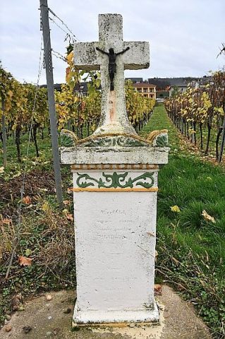 400 m
Wayside Shrines and Stations of the Cross
Wegekreuz in den Weinbergen
Field Names