Historic Townscapes · Undated
Historisches Ortsbild


Description
This description is only available in German.
Translate with Google opens this page in Google Translate (external service)
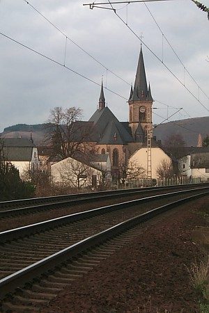
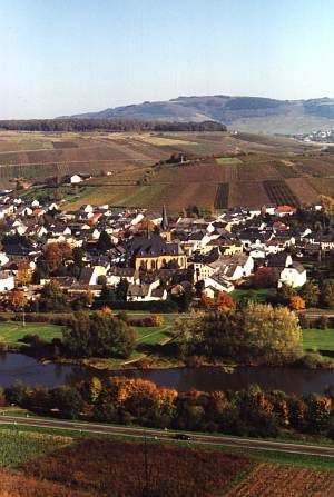
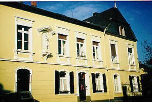
Zahlreiche prächtige Winzervillen und Höfe prägen das Ortsbild, dessen historischer Kern sich um die 1910 erbaute neugotische Kirche gruppiert, die aufgrund ihrer Größe und reichen architektonischen Gestaltung im Volksmund Saardom genannt wird.
Classification
- Subject area
- Architectural and Art Monuments
- Category
- Historic Townscapes
- Date
- Undatiert
- Period
- Undated
Location
- District
- Trier-Saarburg
- Collective municipality
- Konz
- Municipality
- Wiltingen
- Field name
- Ortslage
- Coordinates
- WGS 84: 49.658554, 6.588953 (Position: within the village) WGS 84: 49° 39′ 30.8″ N, 6° 35′ 20.2″ E UTM 32 (ETRS89): E 325995 · N 5503460
Sources
Data sources
- Homepage von Verbandsgemeinde und Stadt Konz - Autor:Thomas Müller, Arbeitskreis Ortschronik
On the internet
Picture credits
Last edited: 19 Mar 2010 Object ID: 1960
https://kulturdb.de/en/objekt/1960-wiltingen-historisches-ortsbild
Nearby
The nearest objects
 less than 10 m
Catholic Churches
Sankt Martin, sogenannter Saardom
 20 m
Nativity Scenes
Sankt Martin - Weihnachtskrippe
 20 m
Market Towns
Marktort Wiltingen
 40 m
Works of Art
Weingut Van Volxem - Takenplatte
 70 m
Estate and Country House Gardens
Weingut Van Volxem - Park
 80 m
Town Houses and Commercial Buildings
Weingut Van Volxem
 80 m
Wayside Shrines and Stations of the Cross
Kreuz vor dem Pfarrhaus
 90 m
Rectories