Wayside Shrines and Stations of the Cross · Undated
Kreuzweg an der Marienkapelle - Station 12


Description
This description is only available in German.
Translate with Google opens this page in Google Translate (external service)
Nördlich der Ortslage am Hiverschbach. [1]
Classification
- Subject area
- Architectural and Art Monuments
- Category
- Religious Buildings
- Object type
- Wayside Shrines and Stations of the Cross
- Date
- Undatiert
- Period
- Undated
Location
- District
- Eifelkreis Bitburg-Prüm
- Collective municipality
- Prüm
- Municipality
- Roth bei Prüm
- Locality / location
- Roth
- Field name
- In der Hiverschbach
- Coordinates
- WGS 84: 50.312719, 6.386936 (Position: exact) WGS 84: 50° 18′ 45.8″ N, 6° 23′ 13.0″ E UTM 32 (ETRS89): E 313959 · N 5576667
Sources
Data sources
- [1] Uwe Widera, 54550 Daun, 2010.
On the internet
de.wikipedia.org/wiki/Roth_bei_Pr%C3%BCm
Picture credits
Last edited: 26 Dec 2010 Object ID: 19764
https://kulturdb.de/en/objekt/19764-roth-bei-pruem-kreuzweg-an-der-marienkapelle-station-12
Nearby
The nearest objects
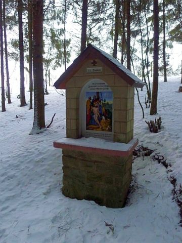 30 m
Wayside Shrines and Stations of the Cross
Kreuzweg an der Marienkapelle - Station 13
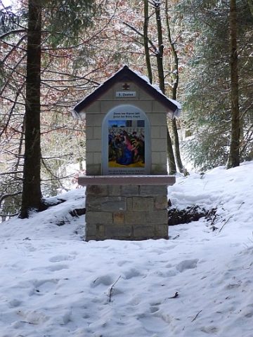 40 m
Wayside Shrines and Stations of the Cross
Kreuzweg an der Marienkapelle - Station 5
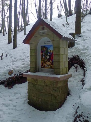 50 m
Wayside Shrines and Stations of the Cross
Kreuzweg an der Marienkapelle - Station 11
 50 m
Wayside Shrines and Stations of the Cross
Kreuzweg an der Marienkapelle - Station 6
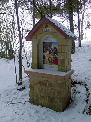 60 m
Wayside Shrines and Stations of the Cross
Kreuzweg an der Marienkapelle - Station 14
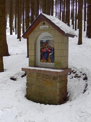 60 m
Wayside Shrines and Stations of the Cross
Kreuzweg an der Marienkapelle - Station 4
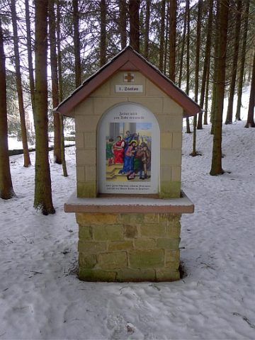 70 m
Wayside Shrines and Stations of the Cross
Kreuzweg an der Marienkapelle - Station 1
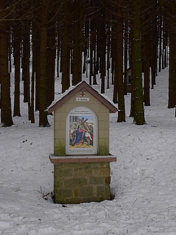 80 m
Wayside Shrines and Stations of the Cross