Farmhouses and Farm Buildings · Renaissance
Ehemaliger Klosterhof


© GeoBasis-DE / LVermGeoRP, dl-de/by-2-0
There is no picture of this object yet. Do you have a photo that you would like to make available to the Kulturdatenbank? Submit a picture
Classification
- Subject area
- Architectural and Art Monuments
- Category
- Residential and Farm Buildings
- Object type
- Farmhouses and Farm Buildings
- Date
- 1600
- Period
- Renaissance
Location
- District
- Bernkastel-Wittlich
- Town
- Bernkastel-Kues
- Locality / location
- Kues
- Street
- Kardinalstraße 44
- Field name
- In der Kordel
- Coordinates
- WGS 84: 49.911752, 7.061435 (Position: exact) WGS 84: 49° 54′ 42.3″ N, 7° 03′ 41.2″ E UTM 32 (ETRS89): E 360819 · N 5530621
Sources
Data sources
- [1] Georg Dehio: Handbuch der deutschen Kunstdenkmäler: Rheinland-Pfalz, Saarland, 1984. Deutscher Kunstverlag
On the internet
Last edited: 24 Apr 2001 Object ID: 198
https://kulturdb.de/en/objekt/198-bernkastel-kues-ehemaliger-klosterhof
Nearby
The nearest objects
No picture
40 m
Town Houses and Commercial Buildings
Breitgiebeliges Fachwerkhaus
No picture
40 m
Schools
Ehemalige Schule Bistumstraße 4/6
No picture
50 m
Schools
Ehemalige Schule Bistumstraße 4/6
No picture
50 m
Town Houses and Commercial Buildings
Wohnhaus
No picture
50 m
Farmhouses and Farm Buildings
Kleines Gehöft
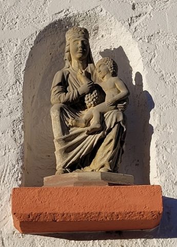 60 m
Town Houses and Commercial Buildings
Wohnhaus
No picture
60 m
Town Houses and Commercial Buildings
Wohnhaus
No picture
70 m
Chapels