Wayside Shrines and Stations of the Cross · Undated
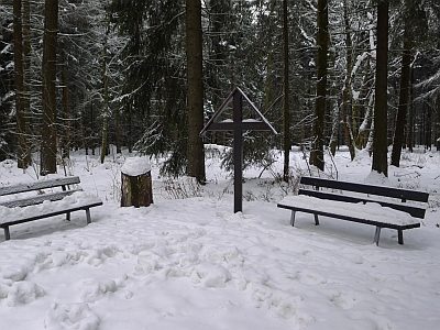
Kreuz beim Kettenkreuz

Classification
- Subject area
- Architectural and Art Monuments
- Category
- Religious Buildings
- Object type
- Wayside Shrines and Stations of the Cross
- Date
- Undatiert
- Period
- Undated
Location
- District
- Eifelkreis Bitburg-Prüm
- Collective municipality
- Prüm
- Municipality
- Buchet
- Field name
- Schneifel
- Coordinates
- WGS 84: 50.263031, 6.370615 (Position: exact) WGS 84: 50° 15′ 46.9″ N, 6° 22′ 14.2″ E UTM 32 (ETRS89): E 312602 · N 5571184
Sources
Data sources
- [1] Uwe Widera, 54550 Daun, 2010.
On the internet
Picture credits
- Picture 1: © Uwe Widera, 54550 Daun, 2010.
Last edited: 31 Dec 2010 Object ID: 19849
https://kulturdb.de/en/objekt/19849-buchet-kreuz-beim-kettenkreuz
Nearby
The nearest objects
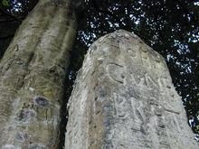 less than 10 m
Surveying
Vierhöfestein
less than 10 m
Surveying
Vierhöfestein als Sprachgrenze
 less than 10 m
Viewpoints
Aussichtspunkt Kettenkreuz
 30 m
Beeches
Blutbuche Kettenkreuz
No picture
90 m
Fortresses and Bunkers
Westwall - Bunker ohne Kampfraum
No picture
240 m
Fortresses and Bunkers
Westwall - Schartenstand
No picture
270 m
Fortresses and Bunkers
Westwall - Schartenstand
No picture
540 m
Fortresses and Bunkers