Wayside Shrines and Stations of the Cross · 20th Century
Kreuz vor dem Eingang des Ehrenfriedhofs


Classification
- Subject area
- Architectural and Art Monuments
- Category
- Religious Buildings
- Object type
- Wayside Shrines and Stations of the Cross
- Date
- 1999
- Period
- 20th Century
Location
- District
- Eifelkreis Bitburg-Prüm
- Collective municipality
- Prüm
- Municipality
- Weinsheim
- Locality / location
- Gondelsheim
- Street
- Lindenstraße
- Field name
- Bungert
- Coordinates
- WGS 84: 50.233416, 6.504531 (Position: exact) WGS 84: 50° 14′ 00.3″ N, 6° 30′ 16.3″ E UTM 32 (ETRS89): E 322035 · N 5567563
Sources
Data sources
- [1] Uwe Widera, 54550 Daun, 2011.
On the internet
Picture credits
Last edited: 5 Jan 2011 Object ID: 19862
https://kulturdb.de/en/objekt/19862-weinsheim-kreuz-vor-dem-eingang-des-ehrenfriedhofs
Nearby
The nearest objects
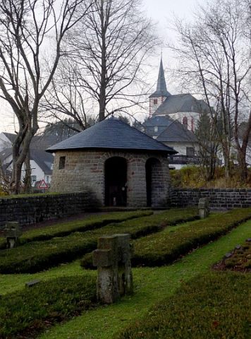 30 m
War Cemeteries
Ehrenfriedhof
 60 m
Ash Trees
Esche
No picture
120 m
Field Names
Bungert
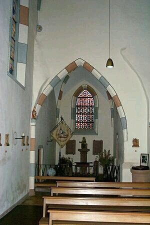 190 m
Catholic Churches
Sankt Fides - Innen
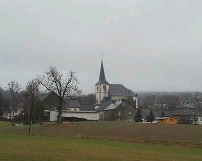 190 m
Pilgrimage Sites
Sankt Fides - Ehemalige Wallfahrtskirche
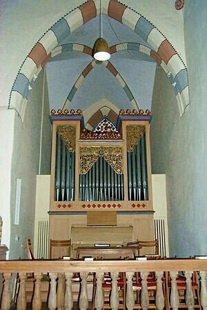 190 m
Organs
Sankt Fides - Orgel
 190 m
Catholic Churches
Sankt Fides - Außen
 200 m
War Memorials