Town Houses and Commercial Buildings · Historicism / Art Nouveau
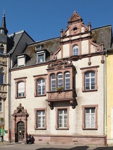
Haus Saarstraße 29
Denkmalzone Saarstr. 15–29, Gerberstr. 30 und 41
- Listed monument


© GeoBasis-DE / LVermGeoRP, dl-de/by-2-0
There is no picture of this object yet. Do you have a photo that you would like to make available to the Kulturdatenbank? Submit a picture
Description
This description is only available in German.
Translate with Google opens this page in Google Translate (external service)
Repräsentative Zeile dreigeschossigerhistoristischer Wohn- und Geschäftshäuser, sandsteingegliederte Klinkerbauten, 1896–1906 (nur Eckhaus Nr. 27 von 1857). [1]
Classification
- Subject area
- Architectural and Art Monuments
- Category
- Residential and Farm Buildings
- Object type
- Town Houses and Commercial Buildings
- Date
- 1896-1906
Location
- District
- City of Trier
- Collective municipality
- Verbandsfreie Gemeinde Trier
- Town
- Trier
- Locality / location
- Trier-Süd
- Street
- Saarstraße 29
- Field name
- Ortslage
- Coordinates
- WGS 84: 49.747863, 6.636296 (Position: exact) WGS 84: 49° 44′ 52.3″ N, 6° 38′ 10.7″ E UTM 32 (ETRS89): E 329724 · N 5513279
Sources
Data sources
- [1] Denkmalliste der Generaldirektion Kulturelles Erbe, Rheinland-Pfalz; 2010.
On the internet
Last edited: 7 Jan 2011 Object ID: 19898
https://kulturdb.de/en/objekt/19898-trier-sued-haus-saarstrasse-29
Nearby
The nearest objects
Town Houses and Commercial Buildings
Haus Gerberstraße 41
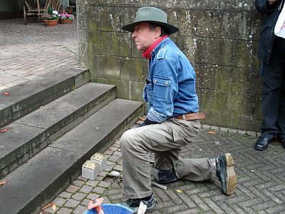 20 m
Stolpersteine (Stumbling Stones)
Stolperstein für Dr. Gertrud(e) Lea Schloss
20 m
Stolpersteine (Stumbling Stones)
Stolpersteine für Frieda Schloss
20 m
Stolpersteine (Stumbling Stones)
Stolpersteine für Heinrich Schloss
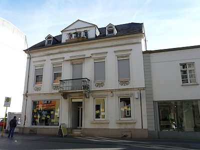 20 m
Town Houses and Commercial Buildings
Wohnhaus
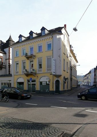 30 m
Town Houses and Commercial Buildings
Wohn- und Geschäftshaus
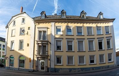 30 m
Town Houses and Commercial Buildings
Haus Gerberstraße 30
 30 m
Town Houses and Commercial Buildings