Historic Townscapes · Renaissance
Ortsbild
- Listed monument


Description
This description is only available in German.
Translate with Google opens this page in Google Translate (external service)
Im Ortsbild haben sich prägende Quereinhäuser aus dem 19. Jahrhundert erhalten. Aus dem 17. Jahrhundert stammt das Haus des ehemaligen kurtrierischen Grundgerichtsmeiers in der Kirchstraße. [1]
Classification
- Subject area
- Architectural and Art Monuments
- Category
- Historic Townscapes
- Date
- 17. Jahrhundert
- Period
- Renaissance
Location
- District
- Trier-Saarburg
- Collective municipality
- Saarburg-Kell
- Municipality
- Trassem
- Field name
- Ortslage
- Coordinates
- WGS 84: 49.577057, 6.523980 (Position: within the village) WGS 84: 49° 34′ 37.4″ N, 6° 31′ 26.3″ E UTM 32 (ETRS89): E 321008 · N 5494553
Sources
Data sources
- [1] Denkmaltopographie Bundesrepublik Deutschland, Kulturdenkmäler in Rheinland-Pfalz, Kreis Trier-Saarburg, 12.1 Wernersche Verlagsgesellschaft 1994
On the internet
Picture credits
Last edited: 7 Oct 2003 Object ID: 1990
https://kulturdb.de/en/objekt/1990-trassem-ortsbild
Nearby
The nearest objects
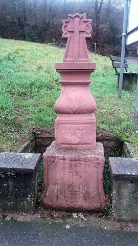 30 m
Wayside Shrines and Stations of the Cross
Altarkreuz
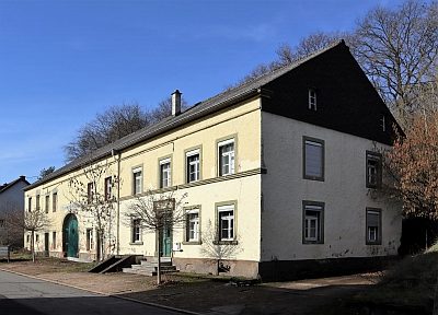 40 m
Farmhouses and Farm Buildings
Quereinhaus
Courthouses
Haus des ehemaligen Grundgerichtsmeiers
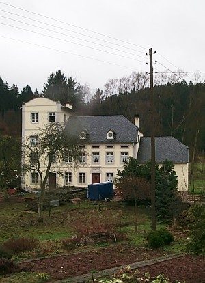 140 m
Mills
Oberhauser Mühle
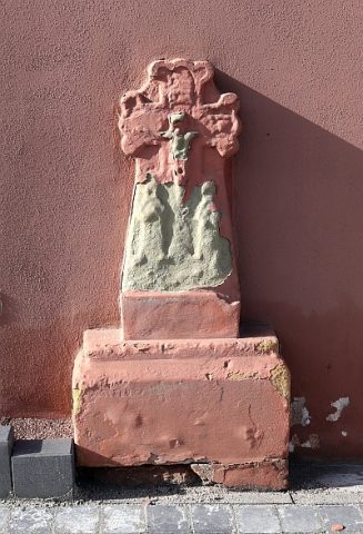 170 m
Wayside Shrines and Stations of the Cross
Schaftkreuz
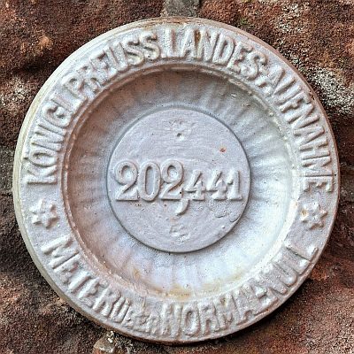 210 m
Surveying
Nivellements-Nummernbolzen
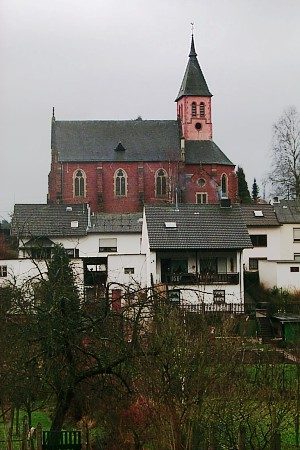 210 m
Catholic Churches
Sankt Erasmus
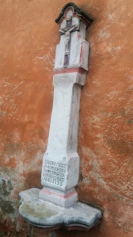 230 m
Wayside Shrines and Stations of the Cross