Historic Townscapes · Undated
Historisches Ortsbild


Classification
- Subject area
- Architectural and Art Monuments
- Category
- Historic Townscapes
- Date
- Undatiert
- Period
- Undated
Location
- District
- Bernkastel-Wittlich
- Collective municipality
- Bernkastel-Kues
- Municipality
- Brauneberg
- Field name
- Am Trommelschlagers Garten
- Coordinates
- WGS 84: 49.906469, 6.982525 (Position: within the village) WGS 84: 49° 54′ 23.3″ N, 6° 58′ 57.1″ E UTM 32 (ETRS89): E 355138 · N 5530183
Sources
Data sources
- [1] Georg Dehio: Handbuch der deutschen Kunstdenkmäler: Rheinland-Pfalz, Saarland, 1984. Deutscher Kunstverlag
On the internet
Picture credits
Last edited: 7 Oct 2003 Object ID: 201
https://kulturdb.de/en/objekt/201-brauneberg-historisches-ortsbild
Nearby
The nearest objects
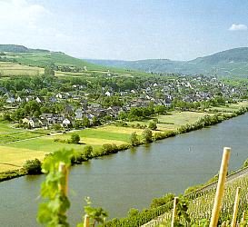 less than 10 m
Place Names / Local History
Erste Erwähnung von Dusemond
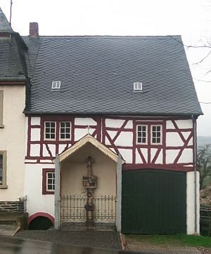 less than 10 m
Wayside Shrines and Stations of the Cross
Dreikönigskreuz
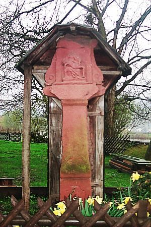 less than 10 m
Wayside Shrines and Stations of the Cross
Bildstock
No picture
110 m
Railways
Moseltalbahn - Ehemaliger Bahnhof Dusemond-Filzen
No picture
160 m
Farmhouses and Farm Buildings
Quereinhaus
No picture
180 m
Farmhouses and Farm Buildings
Wohnhaus
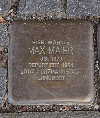 190 m
Stolpersteine (Stumbling Stones)
Stolperstein für Max Maier
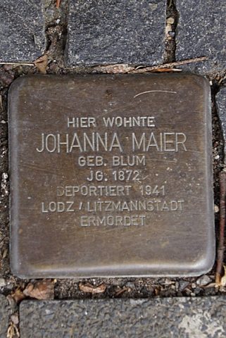 190 m
Stolpersteine (Stumbling Stones)