Fountains and Wells · Undated
Dorfbrunnen

Classification
- Subject area
- Architectural and Art Monuments
- Category
- Fountains and Wells
- Date
- Undatiert
- Period
- Undated
Location
- District
- Trier-Saarburg
- Collective municipality
- Schweich an der römischen Weinstraße
- Municipality
- Riol
- Field name
- Ortslage
- Coordinates
- WGS 84: 49.793944, 6.791843 (Position: within the village) WGS 84: 49° 47′ 38.2″ N, 6° 47′ 30.6″ E UTM 32 (ETRS89): E 341079 · N 5518060
Sources
Data sources
- Prof. Dr. Rieder, Konz, 2000
On the internet
Picture credits
- Picture 1: © Helge Rieder, Konz, 2000
Last edited: 7 Oct 2003 Object ID: 2070
https://kulturdb.de/en/objekt/2070-riol-dorfbrunnen
Nearby
The nearest objects
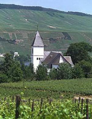 less than 10 m
Settlements
Römische Siedlung
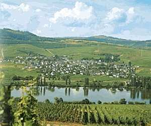 less than 10 m
Place Names / Local History
Ortsname / Ortsgeschichte
less than 10 m
Historic Townscapes
Historisches Ortsbild
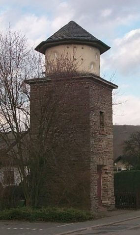 less than 10 m
Catering, Inns and Hotels
Trafostation
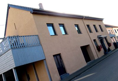 30 m
Farmhouses and Farm Buildings
Quereinhaus
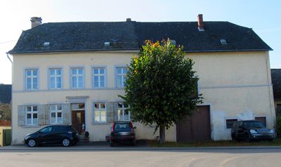 70 m
Farmhouses and Farm Buildings
Quereinhaus
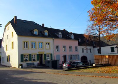 120 m
Farmhouses and Farm Buildings
Streckhof
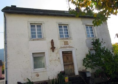 150 m
Farmhouses and Farm Buildings