Wayside Shrines and Stations of the Cross · Undated
Wegekreuz
- Listed monument

Description
This description is only available in German.
Translate with Google opens this page in Google Translate (external service)
Classification
- Subject area
- Architectural and Art Monuments
- Category
- Religious Buildings
- Object type
- Wayside Shrines and Stations of the Cross
- Date
- Undatiert
- Period
- Undated
Location
- District
- Trier-Saarburg
- Collective municipality
- Schweich an der römischen Weinstraße
- Municipality
- Thörnich
- Field name
- Ortslage
- Coordinates
- WGS 84: 49.834675, 6.838644 (Position: within the village) WGS 84: 49° 50′ 04.8″ N, 6° 50′ 19.1″ E UTM 32 (ETRS89): E 344578 · N 5522490
Sources
Data sources
- [1] Denkmaltopographie Bundesrepublik Deutschland, Kulturdenkmäler in Rheinland-Pfalz, Kreis Trier-Saarburg, 12.2 Wernersche Verlagsgesellschaft 1994 und digitales Denkmalbuch.
- [2] http://wwwchweich.de/tourismus
On the internet
Picture credits
- Picture 1: © Helge Rieder, Konz, 2000
Last edited: 7 Oct 2003 Object ID: 2080
https://kulturdb.de/en/objekt/2080-thoernich-wegekreuz
Nearby
The nearest objects
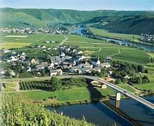 less than 10 m
Town Houses and Commercial Buildings
Wohnhaus Nr. 5
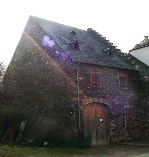 less than 10 m
Farmhouses and Farm Buildings
Kelterhaus
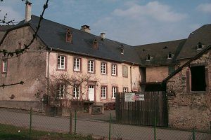 20 m
Farmhouses and Farm Buildings
Dreiseitgehöft
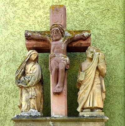 30 m
Wayside Shrines and Stations of the Cross
Kreuzbildstock
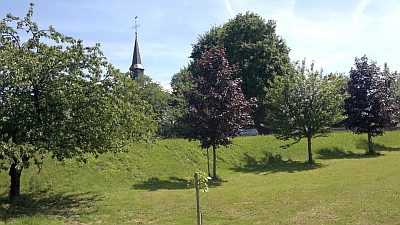 90 m
Catholic Churches
Sankt Maternus
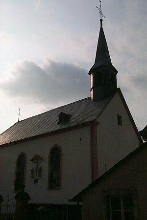 90 m
Organs
Sankt Maternus - Orgel
 120 m
Field Names
Im Haargarten
No picture
130 m
Vineyard Sites