Wayside Shrines and Stations of the Cross · Renaissance
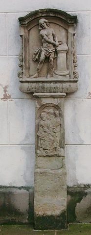
Bildstock
- Listed monument

Classification
- Subject area
- Architectural and Art Monuments
- Category
- Religious Buildings
- Object type
- Wayside Shrines and Stations of the Cross
- Date
- 1633
- Period
- Renaissance
Location
- District
- Trier-Saarburg
- Collective municipality
- Schweich an der römischen Weinstraße
- Municipality
- Ensch
- Street
- Ecke Brunnenstraße / Spielstraße
- Field name
- Ortslage
- Coordinates
- WGS 84: 49.826731, 6.833142 (Position: exact) WGS 84: 49° 49′ 36.2″ N, 6° 49′ 59.3″ E UTM 32 (ETRS89): E 344156 · N 5521618
Sources
Data sources
- [1] Denkmalliste der Generaldirektion Kulturelles Erbe, Rheinland-Pfalz; 2010.
On the internet
Picture credits
- Picture 1: © Helge Rieder, Konz, 2000
Last edited: 22 Nov 2012 Object ID: 2085
https://kulturdb.de/en/objekt/2085-ensch-bildstock
Nearby
The nearest objects
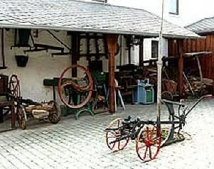 50 m
Museums
Dorfmuseum und Backmuseum
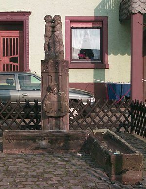 50 m
Fountains and Wells
Brunnen
No picture
60 m
Farmhouses and Farm Buildings
Breitgiebelhaus
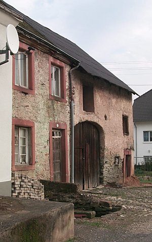 70 m
Farmhouses and Farm Buildings
Winzerhaus
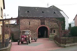 90 m
Farmhouses and Farm Buildings
Scheune und Kelter
 120 m
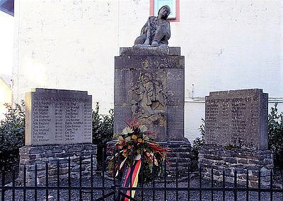
War Memorials
Kriegerdenkmal
 120 m
Wayside Shrines and Stations of the Cross
Bildstock
 120 m
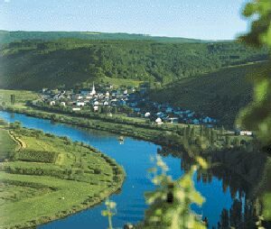
Settlements