Farmhouses and Farm Buildings · 20th Century
Backhaus


Description
This description is only available in German.
Translate with Google opens this page in Google Translate (external service)
Unteres Backhaus.
Classification
- Subject area
- Architectural and Art Monuments
- Category
- Residential and Farm Buildings
- Object type
- Farmhouses and Farm Buildings
- Date
- Nach 1918
- Period
- 20th Century
Location
- District
- Bernkastel-Wittlich
- Collective municipality
- Traben-Trarbach
- Municipality
- Starkenburg
- Field name
- Ortslage
- Coordinates
- WGS 84: 49.956864, 7.139492 (Position: within the village) WGS 84: 49° 57′ 24.7″ N, 7° 08′ 22.2″ E UTM 32 (ETRS89): E 366548 · N 5535494
Sources
On the internet
Picture credits
Last edited: 21 May 2002 Object ID: 2199
https://kulturdb.de/en/objekt/2199-starkenburg-backhaus
Nearby
The nearest objects
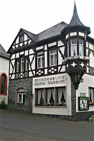 less than 10 m
Town Houses and Commercial Buildings
Weinhaus Schöne Aussicht
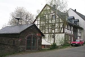 less than 10 m
Exhibitions, Cultural Centres and Memorial Sites
Feuerwehrausstellung
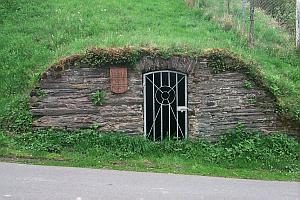 less than 10 m
Fountains and Wells
Löschbrunnen
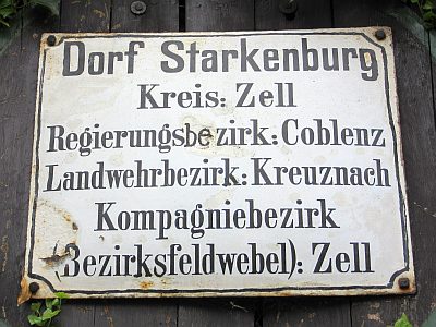 less than 10 m
Historic Townscapes
Historisches Ortsbild
No picture
20 m
Farmhouses and Farm Buildings
Quereinhaus
No picture
40 m
Field Names
Bungert
 40 m
Fountains and Wells
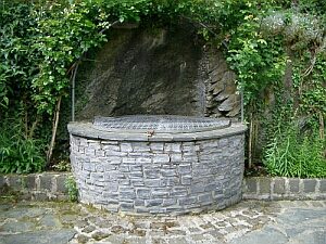
Mittlerer Ortsbrunnen / Viehtränke
 40 m
Fountains and Wells