Wayside Shrines and Stations of the Cross · Neoclassicism
Nischenbildstock


Description
This description is only available in German.
Translate with Google opens this page in Google Translate (external service)
Figurenreiches Wegekreuz von 1783 in der Ortslage. [1]
Classification
- Subject area
- Architectural and Art Monuments
- Category
- Religious Buildings
- Object type
- Wayside Shrines and Stations of the Cross
- Date
- Circa 1750 bis 1850
- Period
- Neoclassicism
Location
- District
- Bernkastel-Wittlich
- Collective municipality
- Bernkastel-Kues
- Municipality
- Maring-Noviand
- Locality / location
- Noviand
- Field name
- Am Gaderweg
- Coordinates
- WGS 84: 49.927809, 7.001970 (Position: exact) WGS 84: 49° 55′ 40.1″ N, 7° 00′ 07.1″ E UTM 32 (ETRS89): E 356598 · N 5532518
Sources
Data sources
- [1] Georg Dehio: Handbuch der deutschen Kunstdenkmäler: Rheinland-Pfalz, Saarland, 1984. Deutscher Kunstverlag
On the internet
Picture credits
Last edited: 15 Nov 2022 Object ID: 224
https://kulturdb.de/en/objekt/224-maring-noviand-nischenbildstock
Nearby
The nearest objects
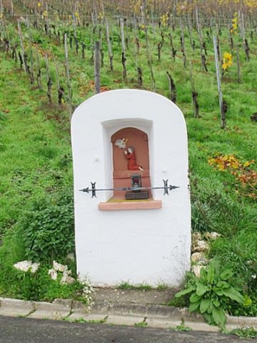 90 m
Wayside Shrines and Stations of the Cross
Nischenbildstock
No picture
110 m
Oaks
Alte Eiche
No picture
150 m
Field Names
Im Honigsack
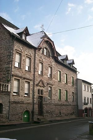 160 m
Town Houses and Commercial Buildings
Profanbauten
No picture
170 m
Jewish History
Jüdische Geschichte Maring
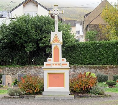 200 m
War Memorials
Sankt Remigius - Friedhofskreuz
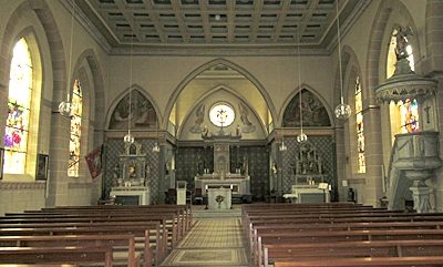 210 m
Catholic Churches
Sankt Remigius - Innenausstattung
No picture
220 m
Farmhouses and Farm Buildings